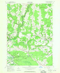
1955 Map of Lee Center
USGS Topo · Published 1970About this map
East Branch Fish Creek defines the local topography as it flows through Annsville and into Vienna, carving a valley that separates the rural settlements of Taberg and Glenmore. The map documents a mid-century landscape where agriculture and water management intersect, featuring the Oneida City Reservoir and the City of Rome Reservoir. A network of rural schools, such as School No 15 and School No 7, are scattered across the terrain, reflecting the decentralized educational structure of the era.
Find a feature on this map
70 named features on this map. Tap any name to fly to it.
Don’t see what you’re looking for? This feature index may not catch every label — zoom into the map to look around manually.
Map Details
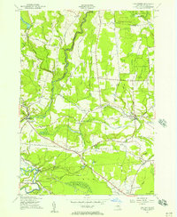
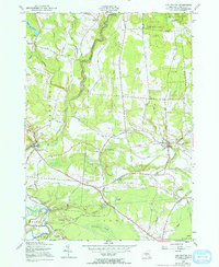
Editions of this 1955 Lee Center Map
3 editions found
Other maps of this area

1895 · Oriskany
USGS Topo · 1:62,500

1895 · Oneida
USGS Topo · 1:62,500

1898 · Oneida
USGS Topo · 1:62,500

1898 · Oriskany
USGS Topo · 1:62,500

1902 · Oneida
USGS Topo · 1:62,500

1904 · Boonville
USGS Topo · 1:62,500

1905 · Taberg
USGS Topo · 1:62,500

1939 · Oneida
USGS Topo · 1:62,500

1943 · East Florence
USGS Topo · 1:31,680

1943 · Camden East
USGS Topo · 1:31,680