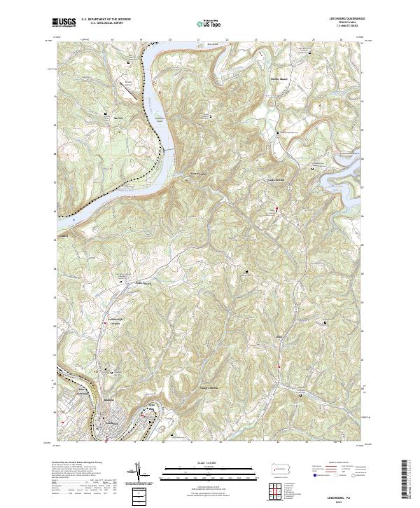
2023 Map of Leechburg
USGS Topo · Published 2023About this map
The Kiskiminetas River and the Allegheny River converge at the southwestern corner of this landscape, framing the industrial and residential core of Leechburg and West Leechburg. This 2023 survey illustrates a region defined by its waterway-driven geography, where the meandering paths of Crooked Creek and Carnahan Run carve through the upland terrain. Significant local history is preserved in the numerous churchyards and burial grounds, such as the Saint Mary's Ukrainian Catholic Cem and the Forks Zion Lutheran Evangelical Church Cem near Forks Church.
Find a feature on this map
203 named features on this map. Tap any name to fly to it.
Don’t see what you’re looking for? This feature index may not catch every label — zoom into the map to look around manually.
Map Details
Editions of this 2023 Leechburg Map
This is the sole edition of this map. No revisions or reprints were ever made.
Other maps of this area

1900 · Kittanning
USGS Topo · 1:62,500

1901 · Rural Valley
USGS Topo · 1:62,500

1902 · Kittanning
USGS Topo · 1:62,500

1902 · Elders Ridge
USGS Topo · 1:62,500

1903 · Rural Valley
USGS Topo · 1:62,500

1904 · Elders Ridge
USGS Topo · 1:62,500

1907 · Freeport
USGS Topo · 1:62,500

1909 · Freeport
USGS Topo · 1:62,500

1953 · Pittsburgh
USGS Topo · 1:250,000

1953 · New Kensington East
USGS Topo · 1:24,000