
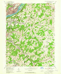
1953 Map of New Kensington East
USGS Topo · Published 1955About this map
The Allegheny River defines the industrial and topographic character of this 1953 landscape, with the riverfront towns of Natrona, Brackenridge, and Tarentum showing dense urban development alongside the Pennsylvania railroad line. Inland, the terrain rises into the dissected plateaus of Lower Burrell and Upper Burrell, where the map reveals a shift from industrial riverfronts to emerging suburban tracts and scattered rural settlements.
Find a feature on this map
77 named features on this map. Tap any name to fly to it.
Don’t see what you’re looking for? This feature index may not catch every label — zoom into the map to look around manually.
Map Details
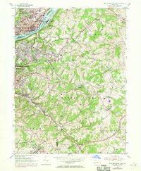
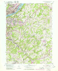
Editions of this 1953 New Kensington East Map
4 editions found
Other maps of this area

1904 · Mc Keesport
USGS Topo · 1:62,500

1904 · Greensburg
USGS Topo · 1:62,500

1906 · Greensburg
USGS Topo · 1:62,500

1907 · Pittsburg
USGS Topo · 1:62,500

1907 · Freeport
USGS Topo · 1:62,500

1908 · New Kensington
USGS Topo · 1:62,500

1909 · Freeport
USGS Topo · 1:62,500

1910 · New Kensington
USGS Topo · 1:62,500

1953 · Pittsburgh
USGS Topo · 1:250,000
1953 · Murrysville
USGS Topo · 1:24,000