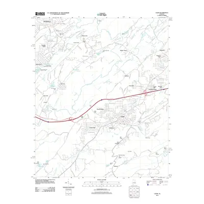
2011 Map of Leeds
USGS Topo · Published 2011About this map
The Cahaba River and its tributary, the Little Cahaba River, anchor this landscape, where the growing residential footprints of Trussville and Leeds meet the ridgelines of the Appalachian foothills. This modern survey illustrates a transition from established neighborhoods like Trussville Manor to the rugged terrain of Grassy Ridge and Mill Ridge. Evidence of the area's subterranean infrastructure is visible through the Roper Tunnel and Oak Mountain Tunnel, while local landmarks like the Leeds Mineral Well and McComb Ford point to the historic ways residents interacted with the land and water.
Find a feature on this map
165 named features on this map. Tap any name to fly to it.
Don’t see what you’re looking for? This feature index may not catch every label — zoom into the map to look around manually.
Map Details
Editions of this 2011 Leeds Map
This is the sole edition of this map. No revisions or reprints were ever made.
Other maps of this area

1889 · Springville
USGS Topo · 1:125,000

1889 · Birmingham
USGS Topo · 1:125,000

1890 · Bessemer
USGS Topo · 1:125,000

1890 · Talladega
USGS Topo · 1:125,000

1892 · Birmingham
USGS Topo · 1:125,000

1892 · Springville
USGS Topo · 1:125,000

1892 · Talladega
USGS Topo · 1:125,000

1892 · Bessemer
USGS Topo · 1:125,000

1895 · Birmingham
USGS Topo · 1:125,000

1905 · Leeds
USGS Topo · 1:62,500