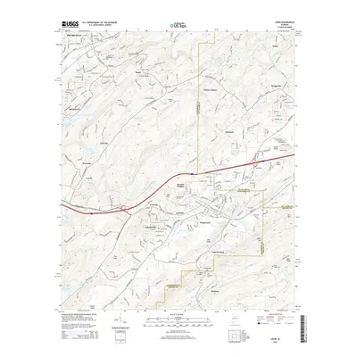
2014 Map of Leeds
USGS Topo · Published 2014About this map
Leeds serves as the focal point of this 2014 survey, where the convergence of the Little Cahaba River and Dry Creek shapes the local geography. The landscape is defined by the ridge-and-valley structure of the Appalachian foothills, with prominent features like Sand Ridge, Blackjack Ridge, and Owens Mountain rising above the suburban expansion of eastern Jefferson County. Transportation infrastructure is a dominant theme, illustrated by the Southern railroad line passing through the Oak Mountain Tunnel and the dense network of roadways like the Bankhead Highway and Barber Motorsports Parkway.
Find a feature on this map
74 named features on this map. Tap any name to fly to it.
Don’t see what you’re looking for? This feature index may not catch every label — zoom into the map to look around manually.
Map Details
Editions of this 2014 Leeds Map
This is the sole edition of this map. No revisions or reprints were ever made.
Other maps of this area

1889 · Springville
USGS Topo · 1:125,000

1889 · Birmingham
USGS Topo · 1:125,000

1890 · Bessemer
USGS Topo · 1:125,000

1890 · Talladega
USGS Topo · 1:125,000

1892 · Birmingham
USGS Topo · 1:125,000

1892 · Springville
USGS Topo · 1:125,000

1892 · Talladega
USGS Topo · 1:125,000

1892 · Bessemer
USGS Topo · 1:125,000

1895 · Birmingham
USGS Topo · 1:125,000

1905 · Leeds
USGS Topo · 1:62,500