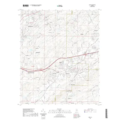
2020 Map of Leeds
USGS Topo · Published 2020About this map
Leeds stands as the central hub of this eastern Alabama landscape, where the ridges of Talladega Hill and Oak Mountain converge. The Cahaba River and its numerous tributaries, including the Little Cahaba River and Big Black Creek, carve through the terrain, dictating the development of communities like Trussville, Irondale, and Moody. This modern survey illustrates the dense intersection of transit and topography, where the Oak Mountain Tunnel and various gaps like O'Bar Gap facilitate movement through the high ridges.
Find a feature on this map
80 named features on this map. Tap any name to fly to it.
Don’t see what you’re looking for? This feature index may not catch every label — zoom into the map to look around manually.
Map Details
Editions of this 2020 Leeds Map
This is the sole edition of this map. No revisions or reprints were ever made.
Other maps of this area

1889 · Springville
USGS Topo · 1:125,000

1889 · Birmingham
USGS Topo · 1:125,000

1890 · Bessemer
USGS Topo · 1:125,000

1890 · Talladega
USGS Topo · 1:125,000

1892 · Birmingham
USGS Topo · 1:125,000

1892 · Springville
USGS Topo · 1:125,000

1892 · Talladega
USGS Topo · 1:125,000

1892 · Bessemer
USGS Topo · 1:125,000

1895 · Birmingham
USGS Topo · 1:125,000

1905 · Leeds
USGS Topo · 1:62,500