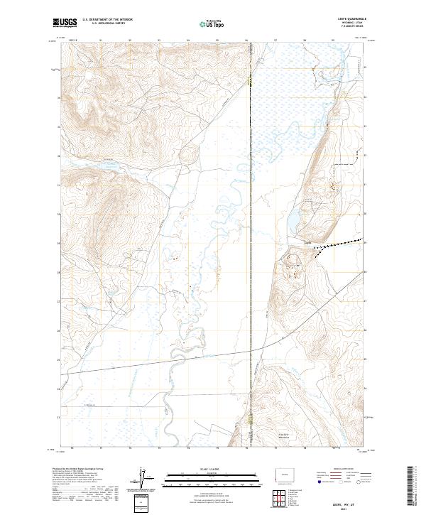
2021 Map of Leefe
USGS Topo · Published 2021About this map
The Bear River meanders across the high borderlands of Lincoln County, Wyoming, and Rich County, Utah, in a landscape defined by an extensive network of 21st-century irrigation and ranching infrastructure. Central to this map is the settlement of Leefe, positioned near where the river transitions between states. The importance of water management in this arid environment is evident through features like the Beckwith and Quinn Canal, Sage Cr Canal, and Riverland Ditch, alongside the Sixmile Reservoir. To the southeast, the Crawford Mountains rise abruptly from the valley floor, while family-held land such as the Willis Bq Ranch anchors the northern reaches. This 2021 survey also documents various springs, including McKinnon Spring and Sucker Spring, which have long served as vital landmarks for local inhabitants and livestock in the high desert.
Find a feature on this map
32 named features on this map. Tap any name to fly to it.
Don’t see what you’re looking for? This feature index may not catch every label — zoom into the map to look around manually.
Map Details
Editions of this 2021 Leefe Map
This is the sole edition of this map. No revisions or reprints were ever made.
Other maps of this area

1912 · Randolph
USGS Topo · 1:125,000

1954 · Sage
USGS Topo · 1:62,500

1954 · Ogden
USGS Topo · 1:250,000

1958 · Ogden
USGS Topo · 1:250,000

1960 · Ogden
USGS Topo · 1:250,000

1962 · Windy Point
USGS Topo · 1:24,000

1968 · Rex Peak
USGS Topo · 1:24,000

1968 · Randolph
USGS Topo · 1:24,000

1969 · Sheeppen Creek
USGS Topo · 1:24,000
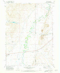
1969 · Leefe
USGS Topo · 1:24,000