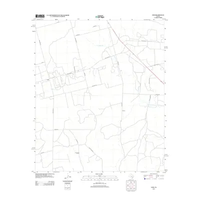
2012 Map of Lees
USGS Topo · Published 2012About this map
Lees stands as a small hub in the central Texas landscape, where the flat rangelands are carved by the intermittent waters of the N Concho River and Panther Cr. The road network revealed here suggests a region defined by ranching and resource management, with routes like Ranch Road 33 and Ranch Road 461 connecting isolated homesteads to the more traveled Hwy-87. A notable grounded landmark for local history researchers is the North Cauble Windmill, situated near Cauble Rd in the southern portion of the quadrangle. This feature, along with numerous private access roads and named tracks like Squires Rd and Hillger Rd, points to a persistent agricultural legacy where water-finding infrastructure was as essential as the roads themselves.
Find a feature on this map
25 named features on this map. Tap any name to fly to it.
Don’t see what you’re looking for? This feature index may not catch every label — zoom into the map to look around manually.
Map Details
Editions of this 2012 Lees Map
This is the sole edition of this map. No revisions or reprints were ever made.
Other maps of this area

1941 · Morita
USGS Topo · 1:62,500

1941 · Big Spring South
USGS Topo · 1:62,500

1942 · Big Spring South
USGS Topo · 1:62,500

1949 · Morita
USGS Topo · 1:62,500

1954 · Big Spring
USGS Topo · 1:250,000

1954 · San Angelo
USGS Topo · 1:250,000

1958 · San Angelo
USGS Topo · 1:250,000

1958 · Big Spring
USGS Topo · 1:250,000

1963 · Ballinger Ranch
USGS Topo · 1:24,000

1963 · Garden City NE
USGS Topo · 1:24,000