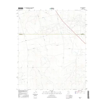
2016 Map of Lees
USGS Topo · Published 2016About this map
The small settlement of Lees sits near the crossing of Ranch Rd 33 and Fm 461, serving as a central point in this West Texas ranching landscape. This region, defined by the boundary between Howard Co and Glasscock Co, is drained by the ephemeral courses of the N Concho River and Panther Cr. The map reveals a systematic grid of rural transit, where named thoroughfares like Hamby Rd, Drumright Rd, and Squires Rd provide access to the vast acreage of the Permian Basin. This network of local roads and cattle guards highlights the enduring layout of family-held lands and the infrastructure required for the region's agricultural and energy-based economy.
Find a feature on this map
20 named features on this map. Tap any name to fly to it.
Don’t see what you’re looking for? This feature index may not catch every label — zoom into the map to look around manually.
Map Details
Editions of this 2016 Lees Map
This is the sole edition of this map. No revisions or reprints were ever made.
Other maps of this area

1941 · Morita
USGS Topo · 1:62,500

1941 · Big Spring South
USGS Topo · 1:62,500

1942 · Big Spring South
USGS Topo · 1:62,500

1949 · Morita
USGS Topo · 1:62,500

1954 · Big Spring
USGS Topo · 1:250,000

1954 · San Angelo
USGS Topo · 1:250,000

1958 · San Angelo
USGS Topo · 1:250,000

1958 · Big Spring
USGS Topo · 1:250,000

1963 · Ballinger Ranch
USGS Topo · 1:24,000

1963 · Garden City NE
USGS Topo · 1:24,000