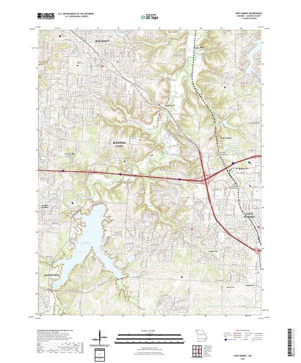
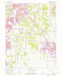
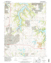
2021 Map of Lees Summit
USGS Topo · Published 2021About this map
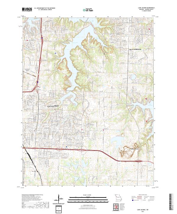
The Little Blue River valley and its surrounding highlands define this modern snapshot of Jackson County's suburban expansion. While Lee's Summit and Kansas City dominate the landscape with complex road networks like the Sw Blue Pkwy and Nw Chipman Rd, the map preserves significant markers of local heritage. Small family and community burial grounds, including the Ganzer Cem and Flanery Cem, sit alongside major landmarks such as the Unity Village Natural Bridge.
Find a feature on this map
68 named features on this map. Tap any name to fly to it.
Don’t see what you’re looking for? This feature index may not catch every label — zoom into the map to look around manually.
Map Details
Editions of this 2021 Lees Summit Map
This is the sole edition of this map. No revisions or reprints were ever made.
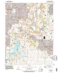
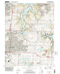
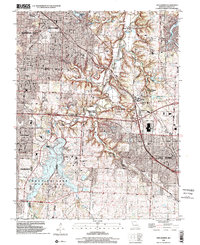
Historical Maps of Vale Through Time
17 maps found
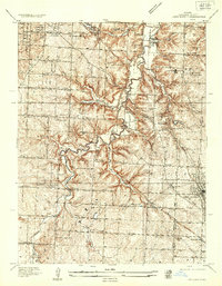
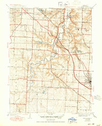
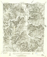
1934 Lees Summit
Jackson County, MO
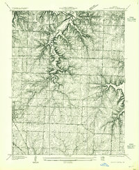
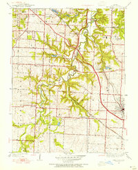
1934 Woods Chapel
Jackson County, MO
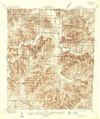
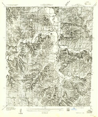
1935 Tarsney
Jackson County, MO
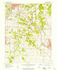
1939 Lees Summit
Jackson County, MO
1949 Lees Summit
Jackson County, MO
1955 Tarsney
Jackson County, MO
1957 Lees Summit
Jackson County, MO
1957 Tarsney
Jackson County, MO
1957 Woods Chapel
Jackson County, MO
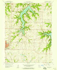
1963 Lake Jacomo
Jackson County, MO
1964 Lees Summit
Jackson County, MO
1990 Lake Jacomo
Jackson County, MO
1990 Lees Summit
Jackson County, MO
1996 Lake Jacomo
Jackson County, MO
1996 Lees Summit
Jackson County, MO
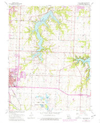
2021 Lake Jacomo
Jackson County, MO
2021 Lees Summit
Jackson County, MO