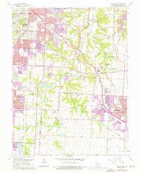
1964 Map of Lees Summit
USGS Topo · Published 1976About this map
Unity Village stands as a focal point in this landscape of mid-century suburban expansion, situated at the junction of the Chicago Rock Island and Pacific and Missouri Pacific railroads. The 1964 survey, with updates into the mid-1970s, documents the sprawling corporate boundaries of Kansas City and Lees Summit as they move toward one another. Along the Little Blue River and its tributaries like Cedar Creek, the map captures a mix of established religious and educational institutions, such as Longview Chapel and Our Lady of Lourdes Sch, alongside industrial and recreational landmarks like the Kansas City International Drag Strip and several active quarries. Small communities like Knobtown, Basonia, and Vale remain identifiable even as the residential grid of Raytown and Ruskin Heights intensifies. Notable family-named burial grounds including Oliver Cem and Ganzer Cem provide critical touchpoints for genealogical research within this evolving Jackson County corridor.
Find a feature on this map
68 named features on this map. Tap any name to fly to it.
Don’t see what you’re looking for? This feature index may not catch every label — zoom into the map to look around manually.
Map Details
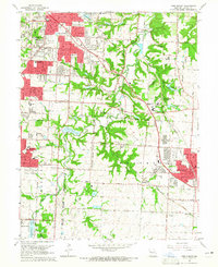
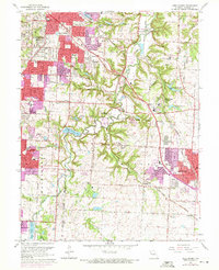
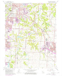
Editions of this 1964 Lees Summit Map
4 editions found
Other maps of this area

1887 · Harrisonville
USGS Topo · 1:125,000

1887 · Olathe
USGS Topo · 1:125,000

1890 · Kansas City
USGS Topo · 1:125,000

1892 · Harrisonville
USGS Topo · 1:125,000

1893 · Olathe
USGS Topo · 1:125,000

1894 · Kansas City
USGS Topo · 1:125,000

1894 · Harrisonville
USGS Topo · 1:125,000

1894 · Independence
USGS Topo · 1:125,000

1933 · Blue Springs
USGS Topo · 1:24,000

1934 · Independence
USGS Topo · 1:24,000