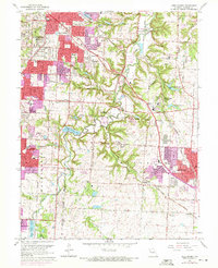
1964 Map of Lees Summit
USGS Topo · Published 1971About this map
Unity Village stands as a central landmark in this mid-century portrait of Jackson County's suburban expansion, featuring the Unity Tower and the School of Christianity. The landscape is a transition between the established city grid and the winding valleys of the Little Blue River. Significant residential growth is evident through the inclusion of the Ruskin Heights development and numerous educational facilities like Raytown South High School and Smith-Hale Junior High School.
Find a feature on this map
65 named features on this map. Tap any name to fly to it.
Don’t see what you’re looking for? This feature index may not catch every label — zoom into the map to look around manually.
Map Details
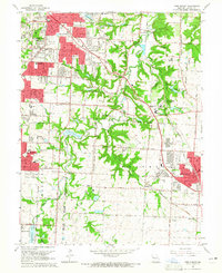
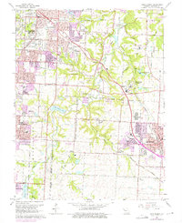
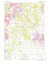
Editions of this 1964 Lees Summit Map
4 editions found
Other maps of this area

1887 · Harrisonville
USGS Topo · 1:125,000

1887 · Olathe
USGS Topo · 1:125,000

1890 · Kansas City
USGS Topo · 1:125,000

1892 · Harrisonville
USGS Topo · 1:125,000

1893 · Olathe
USGS Topo · 1:125,000

1894 · Kansas City
USGS Topo · 1:125,000

1894 · Harrisonville
USGS Topo · 1:125,000

1894 · Independence
USGS Topo · 1:125,000

1933 · Blue Springs
USGS Topo · 1:24,000

1934 · Independence
USGS Topo · 1:24,000