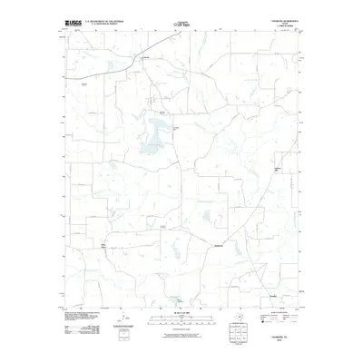
2010 Map of Leesburg
USGS Topo · Published 2010About this map
Leesburg serves as the primary hub of this East Texas landscape, where a network of farm-to-market and county roads connects scattered rural communities. The map reveals a region defined by its hydrology and resource extraction, notably featuring the Newsome Oil Field and Pittsburg Oil Field in the northern reaches. These energy interests sit alongside significant water features like Ferndale Lake, held by the Ferndale Dam, and the winding paths of North Lilly Creek and Middle Lilly Creek.
Find a feature on this map
66 named features on this map. Tap any name to fly to it.
Don’t see what you’re looking for? This feature index may not catch every label — zoom into the map to look around manually.
Map Details
Editions of this 2010 Leesburg Map
This is the sole edition of this map. No revisions or reprints were ever made.
Other maps of this area

1953 · Texarkana
USGS Topo · 1:250,000

1956 · Texarkana
USGS Topo · 1:250,000

1956 · Tyler
USGS Topo · 1:250,000

1960 · Bettie
USGS Topo · 1:24,000

1960 · Thomas
USGS Topo · 1:24,000

1960 · Newsome
USGS Topo · 1:24,000

1960 · Leesburg
USGS Topo · 1:24,000

1960 · Rhonesboro
USGS Topo · 1:24,000

1960 · Pittsburg
USGS Topo · 1:24,000

1964 · Harvard
USGS Topo · 1:24,000