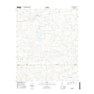
2016 Map of Leesburg
USGS Topo · Published 2016About this map
The settlement of Leesburg anchors the northern portion of this East Texas survey, where the landscape is defined by the branching tributaries of the Cypress Creek basin. Established rural communities like Piney Grove and Matinburg sit along the border between Camp County and Upshur County, connected by a network of farm-to-market roads and county routes. The drainage patterns of N Lilly Cr and Middle Lilly Cr create a complex series of valleys and ridges, leading down toward Ferndale Lake and Harris Lake. Local history is preserved in sites such as Oak Grove Cem and Hopewell Cem, which serve as quiet landmarks for these long-standing farming areas. The geography here is characterized by numerous small named branches, including Arthur Reeves Br and Myrtle Springs Br, reflecting a terrain deeply carved by water movement.
Find a feature on this map
81 named features on this map. Tap any name to fly to it.
Don’t see what you’re looking for? This feature index may not catch every label — zoom into the map to look around manually.
Map Details
Editions of this 2016 Leesburg Map
This is the sole edition of this map. No revisions or reprints were ever made.
Other maps of this area

1953 · Texarkana
USGS Topo · 1:250,000

1956 · Texarkana
USGS Topo · 1:250,000

1956 · Tyler
USGS Topo · 1:250,000

1960 · Bettie
USGS Topo · 1:24,000

1960 · Thomas
USGS Topo · 1:24,000

1960 · Newsome
USGS Topo · 1:24,000

1960 · Leesburg
USGS Topo · 1:24,000

1960 · Rhonesboro
USGS Topo · 1:24,000

1960 · Pittsburg
USGS Topo · 1:24,000

1964 · Harvard
USGS Topo · 1:24,000