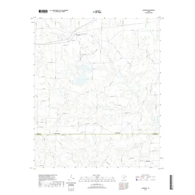
2019 Map of Leesburg
USGS Topo · Published 2019About this map
Leesburg and the surrounding piney woods of Northeast Texas are defined by a complex network of creeks and small family-named settlements. The landscape is carved by the three branches of Lilly Creek—N Lilly Cr, Middle Lilly Cr, and S Lilly Cr—which feed into local impoundments like Ferndale Lake and Harris Lake. This drainage pattern has long influenced the placement of rural homesteads and transport routes, with Farm to Market roads like FM 1519 and FM 2455 connecting isolated communities across the creek valleys.
Find a feature on this map
80 named features on this map. Tap any name to fly to it.
Don’t see what you’re looking for? This feature index may not catch every label — zoom into the map to look around manually.
Map Details
Editions of this 2019 Leesburg Map
This is the sole edition of this map. No revisions or reprints were ever made.
Other maps of this area

1953 · Texarkana
USGS Topo · 1:250,000

1956 · Texarkana
USGS Topo · 1:250,000

1956 · Tyler
USGS Topo · 1:250,000

1960 · Bettie
USGS Topo · 1:24,000

1960 · Thomas
USGS Topo · 1:24,000

1960 · Newsome
USGS Topo · 1:24,000

1960 · Leesburg
USGS Topo · 1:24,000

1960 · Rhonesboro
USGS Topo · 1:24,000

1960 · Pittsburg
USGS Topo · 1:24,000

1964 · Harvard
USGS Topo · 1:24,000