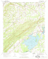
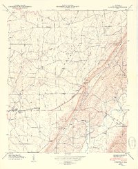
1967 Map of Leesburg
USGS Topo · Published 1970About this map
Weiss Reservoir dominates the landscape of Cherokee County in the late 1960s, its shoreline wrapping around the established community of Leesburg. The map reveals the dramatic geography of Lookout Mountain and Shinbone Ridge, where the local economy and social life are anchored by scattered rural settlements like Sand Rock and Slackland. The area shows a clear transition from traditional river-valley life to a managed water system, evidenced by the Weiss Dam and nearby Powerplant. Genealogists will find a wealth of local landmarks, including numerous country churches such as New Bethel Ch, Olivers Chapel, and Hunt Chapel. Historical transportation routes are well-documented, from the Tennessee Alabama railway line to the surviving location of Davis Ferry on the Coosa River, providing a window into the region's mid-century connectivity.
Find a feature on this map
59 named features on this map. Tap any name to fly to it.
Don’t see what you’re looking for? This feature index may not catch every label — zoom into the map to look around manually.
Map Details
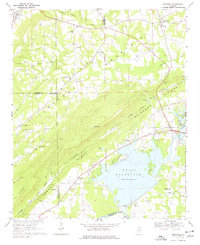
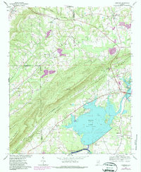
Editions of this 1967 Leesburg Map
3 editions found
Other maps of this area

1893 · Fort Payne
USGS Topo · 1:125,000

1898 · Fort Payne
USGS Topo · 1:125,000

1900 · Fort Payne
USGS Topo · 1:125,000

1936 · Crossville
USGS Topo · 1:24,000

1936 · Roden Gap
USGS Topo · 1:24,000

1946 · Portersville
USGS Topo · 1:24,000
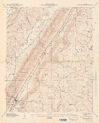
1947 · Portersville
USGS Topo · 1:24,000
1949 · Crossville
USGS Topo · 1:24,000

1955 · Rome
USGS Topo · 1:250,000

1958 · Rome
USGS Topo · 1:250,000