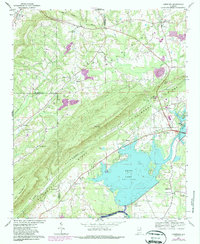
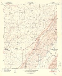
1967 Map of Leesburg
USGS Topo · Published 1987About this map
Weiss Lake and the Coosa River dominate the southeastern landscape of this Northeast Alabama study, which documents a transition in the local economy from traditional river settlements to post-dam utility and recreation. The Weiss Dam and its associated Powerplant stand as significant infrastructure landmarks, while the Southern RR tracks parallel the distinctive southwest-to-northeast orientation of Shinbone Ridge. Rural community life is anchored by numerous small congregations and cemeteries, including Hunt Chapel and Olivers Chapel in the northern hills, and Slackland Ch near the valley floor. Genealogists and local historians can trace family locations through well-established names like Leesburg, Sand Rock, and smaller localities such as Scrougeout and Slackland. The map reveals a complex border region where Cherokee, De Kalb, and Etowah counties converge amidst the dramatic terrain of Big Mountain.
Find a feature on this map
52 named features on this map. Tap any name to fly to it.
Don’t see what you’re looking for? This feature index may not catch every label — zoom into the map to look around manually.
Map Details
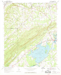
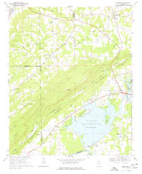
Editions of this 1967 Leesburg Map
3 editions found
Other maps of this area

1893 · Fort Payne
USGS Topo · 1:125,000

1898 · Fort Payne
USGS Topo · 1:125,000

1900 · Fort Payne
USGS Topo · 1:125,000

1936 · Crossville
USGS Topo · 1:24,000

1936 · Roden Gap
USGS Topo · 1:24,000

1946 · Portersville
USGS Topo · 1:24,000
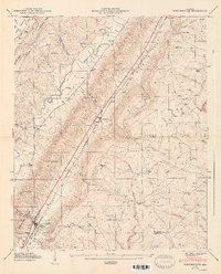
1947 · Portersville
USGS Topo · 1:24,000
1949 · Crossville
USGS Topo · 1:24,000

1955 · Rome
USGS Topo · 1:250,000

1958 · Rome
USGS Topo · 1:250,000