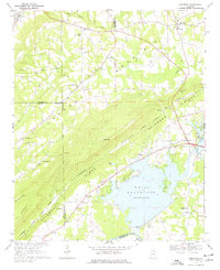
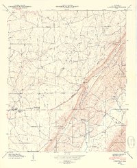
1967 Map of Leesburg
USGS Topo · Published 1977About this map
Weiss Reservoir dominates the landscape of this late-1960s survey, marking a significant transformation of the Coosa River valley. The map documents the engineering of the Weiss Dam and its adjacent Powerplant, which fundamentally altered the local topography and commerce. In the surrounding hills, established communities like Leesburg and Sand Rock sit at the crossroads of agricultural and early industrial activity, while rural life is anchored by numerous local landmarks such as Pleasant Valley Ch, New Bethel Ch, and Livingston Jr High Sch.
Find a feature on this map
64 named features on this map. Tap any name to fly to it.
Don’t see what you’re looking for? This feature index may not catch every label — zoom into the map to look around manually.
Map Details
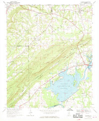
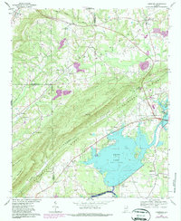
Editions of this 1967 Leesburg Map
3 editions found
Other maps of this area

1893 · Fort Payne
USGS Topo · 1:125,000

1898 · Fort Payne
USGS Topo · 1:125,000

1900 · Fort Payne
USGS Topo · 1:125,000

1936 · Crossville
USGS Topo · 1:24,000

1936 · Roden Gap
USGS Topo · 1:24,000

1946 · Portersville
USGS Topo · 1:24,000
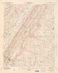
1947 · Portersville
USGS Topo · 1:24,000
1949 · Crossville
USGS Topo · 1:24,000

1955 · Rome
USGS Topo · 1:250,000

1958 · Rome
USGS Topo · 1:250,000