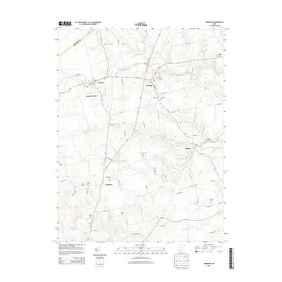
2013 Map of Leesburg
USGS Topo · Published 2013About this map
Leesburg and the surrounding Highland County farm country appear in this early 21st-century study, where the village layout is defined by the intersection of Oh-28 and Us-62. The map illustrates a landscape dense with small family and community cemeteries, such as Pleasant Hill Cem, Dunkard Cem, and Hardin Creek Cem, which serve as vital markers for genealogists tracing local lineage.
Find a feature on this map
82 named features on this map. Tap any name to fly to it.
Don’t see what you’re looking for? This feature index may not catch every label — zoom into the map to look around manually.
Map Details
Editions of this 2013 Leesburg Map
This is the sole edition of this map. No revisions or reprints were ever made.
Other maps of this area

1915 · Bainbridge
USGS Topo · 1:48,000

1917 · Bainbridge
USGS Topo · 1:62,500

1917 · Greenfield
USGS Topo · 1:62,500

1917 · Hillsboro
USGS Topo · 1:62,500

1917 · Sabina
USGS Topo · 1:62,500

1943 · Sabina
USGS Topo · 1:62,500

1944 · Hillsboro
USGS Topo · 1:62,500

1944 · Greenfield
USGS Topo · 1:62,500

1947 · Columbus
USGS Topo · 1:250,000

1960 · Greenfield
USGS Topo · 1:24,000