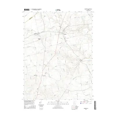
2016 Map of Leesburg
USGS Topo · Published 2016About this map
Leesburg and the surrounding Highland County township landscape appear here as a patchwork of agricultural plots and small village centers. The terrain is defined by a dense network of creek systems, most notably Middle Fork Lees Cr and Hardin Cr, which carve through the countryside. For those tracing family histories, the map identifies numerous rural burial grounds, such as Antioch Cem, Hansbrough Cem, and the Methodist Cem near Samantha. This modern survey also preserves the locations of smaller named points like Highland Station and the small settlement of Bridges to the east. Transportation routes like Old US Hwy 62 and various township roads link these communities, showing the enduring infrastructure of this southern Ohio region.
Find a feature on this map
104 named features on this map. Tap any name to fly to it.
Don’t see what you’re looking for? This feature index may not catch every label — zoom into the map to look around manually.
Map Details
Editions of this 2016 Leesburg Map
This is the sole edition of this map. No revisions or reprints were ever made.
Other maps of this area

1915 · Bainbridge
USGS Topo · 1:48,000

1917 · Bainbridge
USGS Topo · 1:62,500

1917 · Greenfield
USGS Topo · 1:62,500

1917 · Hillsboro
USGS Topo · 1:62,500

1917 · Sabina
USGS Topo · 1:62,500

1943 · Sabina
USGS Topo · 1:62,500

1944 · Hillsboro
USGS Topo · 1:62,500

1944 · Greenfield
USGS Topo · 1:62,500

1947 · Columbus
USGS Topo · 1:250,000

1960 · Greenfield
USGS Topo · 1:24,000