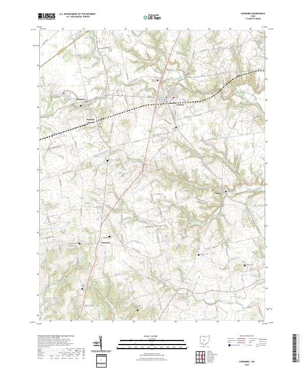
2023 Map of Leesburg
USGS Topo · Published 2023About this map
Leesburg and Highland serve as the primary hubs in this corner of Highland County, where the agricultural landscape is deeply etched by the branching waters of Lees Creek and Hardin Creek. The map reveals a dense distribution of rural burial grounds, including the Antioch Cem and Pleasant Hill Cem, which often point to the locations of vanished pioneer congregations or family farmsteads. South of the village of Samantha, the terrain becomes increasingly dissected by drainage systems like Little Rock Creek and Fall Creek, illustrating the natural erosion patterns that have shaped the local topography.
Find a feature on this map
100 named features on this map. Tap any name to fly to it.
Don’t see what you’re looking for? This feature index may not catch every label — zoom into the map to look around manually.
Map Details
Editions of this 2023 Leesburg Map
This is the sole edition of this map. No revisions or reprints were ever made.
Other maps of this area

1915 · Bainbridge
USGS Topo · 1:48,000

1917 · Bainbridge
USGS Topo · 1:62,500

1917 · Greenfield
USGS Topo · 1:62,500

1917 · Hillsboro
USGS Topo · 1:62,500

1917 · Sabina
USGS Topo · 1:62,500

1943 · Sabina
USGS Topo · 1:62,500

1944 · Hillsboro
USGS Topo · 1:62,500

1944 · Greenfield
USGS Topo · 1:62,500

1947 · Columbus
USGS Topo · 1:250,000

1960 · Greenfield
USGS Topo · 1:24,000