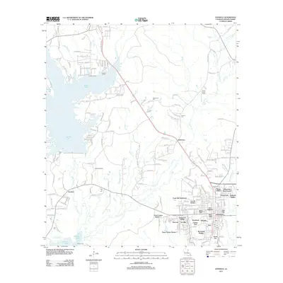
2012 Map of Leesville
USGS Topo · Published 2012About this map
Leesville serves as the focal point of this 2012 survey, revealing a landscape defined by significant water management and suburban expansion in Vernon Parish. The massive footprint of Vernon Lake dominates the western half of the map, created by the damming of Bayou Anacoco, while the northern reaches of Anacoco Lake appear at the southern boundary. These reservoirs reshaped the local geography, creating points of interest like Wild Bills Marina and Thaxtons Landing.
Find a feature on this map
202 named features on this map. Tap any name to fly to it.
Don’t see what you’re looking for? This feature index may not catch every label — zoom into the map to look around manually.
Map Details
Editions of this 2012 Leesville Map
This is the sole edition of this map. No revisions or reprints were ever made.
Other maps of this area

1941 · Leesville
USGS Topo · 1:62,500

1941 · Slagle
USGS Topo · 1:62,500

1942 · Florien
USGS Topo · 1:62,500

1942 · Kisatchie
USGS Topo · 1:62,500

1943 · Leesville
USGS Topo · 1:62,500

1943 · Kisatchie
USGS Topo · 1:62,500

1944 · Florien
USGS Topo · 1:62,500

1944 · Slagle
USGS Topo · 1:62,500

1946 · Leesville
USGS Topo · 1:62,500

1948 · Leesville
USGS Topo · 1:62,500