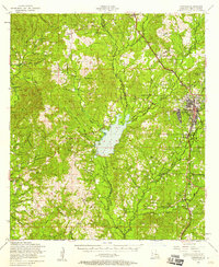
1954 Map of Leesville
USGS Topo · Published 1958About this map
Leesville serves as the focal point of this mid-century survey, positioned at the intersection of timber and rail interests in Vernon Parish. The landscape is defined by the significant reservoir of Anacoco Lake and the branching waterways of Anacoco Bayou and Bundick Bayou. Social life in the 1950s is reflected through numerous rural landmarks, including the Pickering Sch and specialized facilities like the J B Youngblood Infirmary. The transportation network is dominated by the Kansas City Southern corridor, while a dismantled railroad line traces a former path through the western timberlands. The eastern edge of the map shows the transition into the Fort Polk Military Reservation, while long-established community nodes like Burr Ferry and Newllano are detailed alongside a high density of country churches, such as Holly Grove Church and Lourdes Parish Memorial Church.
Find a feature on this map
75 named features on this map. Tap any name to fly to it.
Don’t see what you’re looking for? This feature index may not catch every label — zoom into the map to look around manually.
Map Details
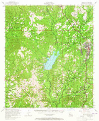
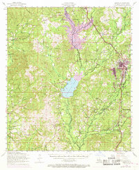
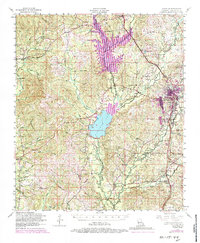
Editions of this 1954 Leesville Map
4 editions found
Other maps of this area

1941 · Leesville
USGS Topo · 1:62,500

1941 · Slagle
USGS Topo · 1:62,500

1942 · Florien
USGS Topo · 1:62,500

1942 · Kisatchie
USGS Topo · 1:62,500

1943 · Leesville
USGS Topo · 1:62,500

1943 · Kisatchie
USGS Topo · 1:62,500

1944 · Negreet
USGS Topo · 1:62,500

1944 · Wiergate
USGS Topo · 1:62,500

1944 · Florien
USGS Topo · 1:62,500

1944 · Slagle
USGS Topo · 1:62,500