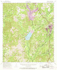
1954 Map of Leesville
USGS Topo · Published 1968About this map
Leesville serves as the regional hub for this portion of West Louisiana, showing significant growth by the late 1960s with its urban extent expanding toward Billy Goat Hill. The landscape is defined by the massive Anacoco Lake and a complex network of waterways, including Anacoco Creek and its many branches like Holly Grove Branch. The economic and social fabric of the era is visible through the Kansas City Southern railroad line and a dense distribution of rural institutions, such as the Oak Forest School and numerous community landmarks like the J B Younger Infirmary. A striking feature of the map is the network of dismantled railroads snaking through the timberlands, tracing the older paths of the region's logging history. These former rail beds, combined with older settlements like Pickering and Newllano, offer a look at a landscape transitioning from its industrial timber roots to more modern residential and recreational patterns.
Find a feature on this map
81 named features on this map. Tap any name to fly to it.
Don’t see what you’re looking for? This feature index may not catch every label — zoom into the map to look around manually.
Map Details
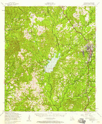
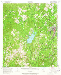
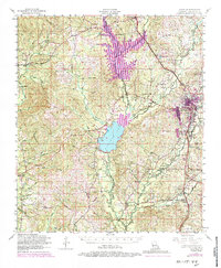
Editions of this 1954 Leesville Map
4 editions found
Other maps of this area

1941 · Leesville
USGS Topo · 1:62,500

1941 · Slagle
USGS Topo · 1:62,500

1942 · Florien
USGS Topo · 1:62,500

1942 · Kisatchie
USGS Topo · 1:62,500

1943 · Leesville
USGS Topo · 1:62,500

1943 · Kisatchie
USGS Topo · 1:62,500

1944 · Negreet
USGS Topo · 1:62,500

1944 · Wiergate
USGS Topo · 1:62,500

1944 · Florien
USGS Topo · 1:62,500

1944 · Slagle
USGS Topo · 1:62,500