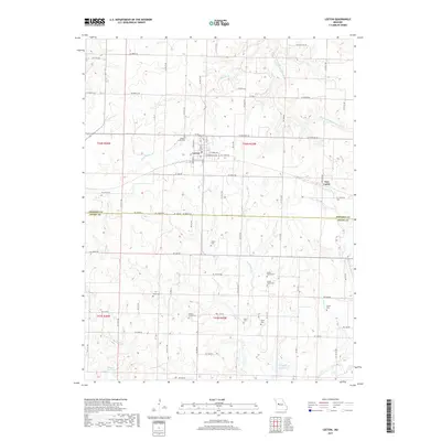
2017 Map of Leeton
USGS Topo · Published 2017About this map
The town of Leeton serves as the primary hub on this Missouri survey, which details a landscape marked by the transition between the Clear Fork Blackwater River to the north and the headwaters of the Tebo and Wade creeks to the south. The area is defined by its deep agricultural and genealogical roots, evidenced by the high density of family and community burial grounds scattered across the county line. These include the Mineral Creek Cem, Fewel Cem, and Hickory Grove Cem, reflecting the early settlement patterns of the region. The map also documents the interface between Johnson and Henry Counties, showing how rural roads like State Hwy EE connect the central township to outlying areas such as New Castle. Notable water features like Wilson Lake and the Number 131 Reservoir highlight the importance of water management in this interior prairie environment.
Find a feature on this map
79 named features on this map. Tap any name to fly to it.
Don’t see what you’re looking for? This feature index may not catch every label — zoom into the map to look around manually.
Map Details
Editions of this 2017 Leeton Map
This is the sole edition of this map. No revisions or reprints were ever made.
Other maps of this area

1885 · Warrensburg
USGS Topo · 1:125,000

1887 · Clinton
USGS Topo · 1:125,000

1887 · Warrensburg
USGS Topo · 1:125,000

1894 · Warrensburg
USGS Topo · 1:125,000

1894 · Clinton
USGS Topo · 1:125,000

1947 · Jefferson City
USGS Topo · 1:250,000
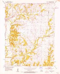
1953 · Calhoun East
USGS Topo · 1:24,000

1953 · Calhoun West
USGS Topo · 1:24,000
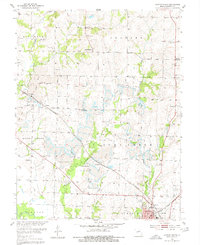
1953 · Clinton North
USGS Topo · 1:24,000

1954 · Jefferson City
USGS Topo · 1:250,000