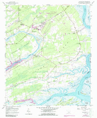
1959 Map of Legareville
USGS Topo · Published 1988About this map
The sea islands of coastal South Carolina appear here during a period of transition in the mid-twentieth century, dominated by the massive landmass of Johns Island and the neighboring Wadmalaw Island. The map records a landscape of tidal waterways like the Stono River and Kiawah River, where large tracts of Plowed Ground hint at the area's agricultural character. Local community life is anchored by a dense network of country churches and schools, including St James Ch, St Johns High Sch, and Mt Zion Sch. Settlements such as Fenwick Crossroads and the riverfront Legareville serve as focal points along the rural road system, while the Johns Island Lookout Tower and Johns Island Airport reflect contemporary infrastructure. The complex hydrology of the Lowcountry is visible in the numerous smaller channels like Abbapoola Creek and Bohicket Creek, which thread through the marshes and hammocks.
Find a feature on this map
50 named features on this map. Tap any name to fly to it.
Don’t see what you’re looking for? This feature index may not catch every label — zoom into the map to look around manually.
Map Details
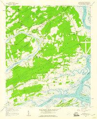
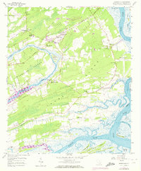
Editions of this 1959 Legareville Map
3 editions found
Other maps of this area

1918 · Kiawah Island
USGS Topo · 1:21,120

1919 · Johns Island
USGS Topo · 1:21,120

1919 · Wadmelaw Island
USGS Topo · 1:62,500

1919 · Charleston
USGS Topo · 1:21,120

1919 · James Island
USGS Topo · 1:21,120

1919 · Legareville
USGS Topo · 1:21,120

1920 · Ravenels
USGS Topo · 1:62,500

1943 · Legareville
USGS Topo · 1:24,000

1943 · James Island
USGS Topo · 1:24,000

1943 · Kiawah Island
USGS Topo · 1:24,000