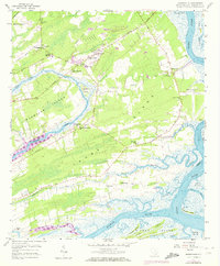
1959 Map of Legareville
USGS Topo · Published 1972About this map
Johns Island and the neighboring Wadmalaw Island are defined by a network of tidal waterways and agrarian traditions in the late 1950s. The landscape is dotted with numerous rural congregations such as St James Ch, St Matthews Ch, and Blessed Sacrament Ch, alongside local educational landmarks like St Johns High Sch and Haut Gap Sch. The settlement of Legareville sits near the Abbapoola Creek, while the broader terrain reveals the area's agricultural character, including areas specifically noted as Plowed Ground.
Find a feature on this map
48 named features on this map. Tap any name to fly to it.
Don’t see what you’re looking for? This feature index may not catch every label — zoom into the map to look around manually.
Map Details
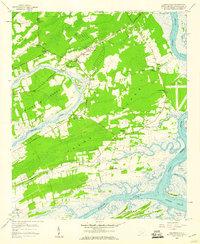
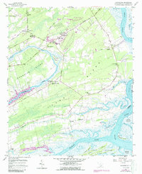
Editions of this 1959 Legareville Map
3 editions found
Other maps of this area

1918 · Kiawah Island
USGS Topo · 1:21,120

1919 · Johns Island
USGS Topo · 1:21,120

1919 · Wadmelaw Island
USGS Topo · 1:62,500

1919 · Charleston
USGS Topo · 1:21,120

1919 · James Island
USGS Topo · 1:21,120

1919 · Legareville
USGS Topo · 1:21,120

1920 · Ravenels
USGS Topo · 1:62,500

1943 · Legareville
USGS Topo · 1:24,000

1943 · James Island
USGS Topo · 1:24,000

1943 · Kiawah Island
USGS Topo · 1:24,000