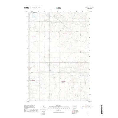
2020 Map of Lehigh
USGS Topo · Published 2020About this map
The Lehigh settlement and the southeastern edge of Dickinson define this landscape in Stark County, where the plains give way to more complex geological forms. The Heart River winds across the northern sections, passing near the eponymous Lehigh Rd, while Antelope Cr cuts through the central terrain to the south. One of the most prominent landmarks is the rising profile of the Dobson Buttes in the western portion of the map, providing a significant elevation contrast to the surrounding section lines. The rural infrastructure is anchored by historical crossings like the Shipley Bridge, which connects the grid of section roads that divide the territory into township blocks. This 2020 update shows the modern road network, including Lehigh Dr, as it overlays the traditional agricultural and topographic features of the North Dakota prairie.
Find a feature on this map
29 named features on this map. Tap any name to fly to it.
Don’t see what you’re looking for? This feature index may not catch every label — zoom into the map to look around manually.
Map Details
Editions of this 2020 Lehigh Map
This is the sole edition of this map. No revisions or reprints were ever made.
Other maps of this area

1953 · Dickinson
USGS Topo · 1:250,000

1957 · Dickinson
USGS Topo · 1:250,000

1959 · Dickinson North
USGS Topo · 1:24,000

1959 · Dickinson South
USGS Topo · 1:24,000

1959 · Lehigh
USGS Topo · 1:24,000

1962 · Davis Buttes
USGS Topo · 1:24,000

1973 · Boyle
USGS Topo · 1:24,000

1973 · Lefor NW
USGS Topo · 1:24,000

1973 · Lefor
USGS Topo · 1:24,000

1973 · Gladstone
USGS Topo · 1:24,000