
1923 Map of Lehigh
USGS Topo · Published 1923About this map
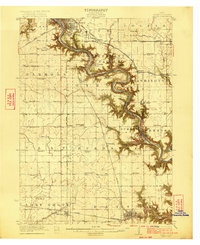
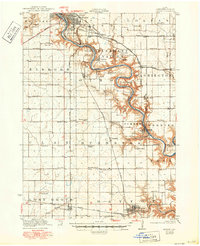
The Des Moines River carves a deep, winding path through this central Iowa landscape, defining the industrial and social development of Webster County during the early 1920s. Concentrated activity follows the riverbanks and the intense rail network, where towns like Coalville, Kalo, and Clayworks speak to the region's rich history of coal mining and tile production. Further south, the town of Lehigh sits prominently in a sharp river bend, connected by the Fort Dodge Des Moines and Southern and the Chicago Great Western railroads.
Find a feature on this map
58 named features on this map. Tap any name to fly to it.
Don’t see what you’re looking for? This feature index may not catch every label — zoom into the map to look around manually.
Map Details
Editions of this 1923 Lehigh Map
3 editions found
Other maps of this area

1916 · Boone
USGS Topo · 1:62,500

1923 · Fort Dodge
USGS Topo · 1:62,500

1951 · Ogden
USGS Topo · 1:62,500

1954 · Waterloo
USGS Topo · 1:250,000

1954 · Fort Dodge
USGS Topo · 1:250,000

1955 · Waterloo
USGS Topo · 1:250,000

1957 · Fort Dodge
USGS Topo · 1:250,000

1958 · Fort Dodge
USGS Topo · 1:250,000

1962 · Jefferson
USGS Topo · 1:62,500

1965 · Fraser
USGS Topo · 1:24,000