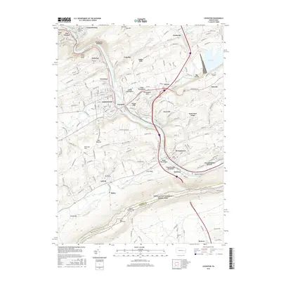
2016 Map of Lehighton
USGS Topo · Published 2016About this map
The Lehigh River carves a deep path through the coal region of Pennsylvania, framing the industrial and residential heart of Lehighton and Jim Thorpe. This 2016 survey highlights the complex transportation and water management systems of Carbon County, from the massive Beltzville Lake to the north to the Lehigh-Valley Tunnel cutting through the southern ridges. Small settlements like Packerton and Weissport maintain their distinct identities along the riverbanks, while the ridges of Blue Mountain and Mauch Chunk Ridge hem in the valley. For genealogists, the map locates several burial grounds including Packerton Cem and New Dinkey Memorial Cem. The Appalachian National Scenic Trail traverses the high southern boundary, marking the transition into the Lehigh County line at Lehigh Furnace Gap.
Find a feature on this map
203 named features on this map. Tap any name to fly to it.
Don’t see what you’re looking for? This feature index may not catch every label — zoom into the map to look around manually.
Map Details
Editions of this 2016 Lehighton Map
This is the sole edition of this map. No revisions or reprints were ever made.
Other maps of this area

1889 · Hazleton
USGS Topo · 1:62,500

1891 · Hazleton
USGS Topo · 1:62,500

1893 · Hazleton
USGS Topo · 1:62,500

1902 · Slatington
USGS Topo · 1:62,500

1909 · Hamburg
USGS Topo · 1:62,500

1911 · Hamburg
USGS Topo · 1:62,500

1922 · Mauch Chunk
USGS Topo · 1:62,500

1924 · Mauch Chunk
USGS Topo · 1:62,500

1937 · Allentown West
USGS Topo · 1:48,000

1942 · Allentown West
USGS Topo · 1:62,500