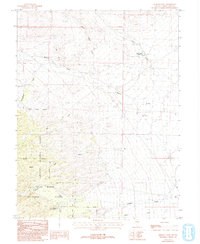
1986 Map of Lehman Caves
USGS Topo · Published 1993About this map
Great Basin National Park and the Humboldt National Forest dominate this high-elevation terrain in White Pine County. The topography is defined by significant drainage systems including Strawberry Creek, Lehman Creek, and Baker Creek, which flow eastward from the steep slopes of the Snake Range. The Lehman Caves Visitor Center is a focal point for the area's geological and park history, serving as the gateway to the intricate cavern systems.
Find a feature on this map
19 named features on this map. Tap any name to fly to it.
Don’t see what you’re looking for? This feature index may not catch every label — zoom into the map to look around manually.
Map Details
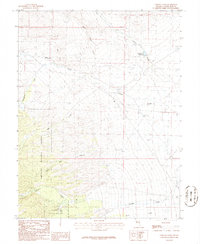
Editions of this 1986 Lehman Caves Map
2 editions found
Other maps of this area

1948 · Wheeler Peak
USGS Topo · 1:62,500

1949 · Garrison
USGS Topo · 1:62,500

1950 · Wheeler Peak
USGS Topo · 1:62,500

1951 · Garrison
USGS Topo · 1:62,500

1956 · Lund
USGS Topo · 1:250,000

1956 · Ely
USGS Topo · 1:250,000

1959 · Ely
USGS Topo · 1:250,000

1959 · Sacramento Pass
USGS Topo · 1:62,500

1960 · Lund
USGS Topo · 1:250,000

1963 · Ely
USGS Topo · 1:250,000