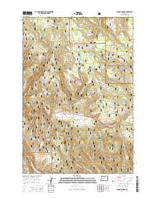
2014 Map of Lehman Springs
USGS Topo · Published 2014About this map
Lehman Springs sits at the heart of this high-elevation landscape within the Umatilla National Forest. The 2014 survey documents a network of forest development roads and trails that navigate the complex drainage systems of the Blue Mountains, where the boundaries of Whitman National Forest and the Umatilla and Union county line converge. The map reveals a reliance on the area's natural hydrology, naming numerous water sources such as Hidaway Springs, French Corral Spring, and Bear Wallow Spring.
Find a feature on this map
62 named features on this map. Tap any name to fly to it.
Don’t see what you’re looking for? This feature index may not catch every label — zoom into the map to look around manually.
Map Details
Editions of this 2014 Lehman Springs Map
This is the sole edition of this map. No revisions or reprints were ever made.
Other maps of this area

1953 · Pendleton
USGS Topo · 1:250,000

1956 · Pendleton
USGS Topo · 1:250,000

1967 · Ukiah SE
USGS Topo · 1:24,000

1967 · Tower Mtn
USGS Topo · 1:24,000

1967 · Sullivan Gulch
USGS Topo · 1:24,000

1967 · Lehman Springs
USGS Topo · 1:24,000

1967 · Granite Meadows
USGS Topo · 1:24,000

1967 · Bally Mountain
USGS Topo · 1:24,000

1967 · Pearson Ridge
USGS Topo · 1:24,000

1967 · Owens Butte
USGS Topo · 1:24,000