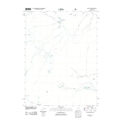
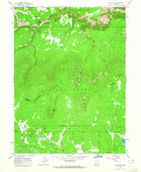
2011 Map of Leidy Peak
USGS Topo · Published 2011About this map
Leidy Peak and Ute Mountain define the high-altitude landscape of this 2011 survey, where the drainages of the High Uintas form a complex network of glacial basins and water management infrastructure. The region serves as a critical headwater area, with the North Fork Ashley Creek and South Fork Ashley Creek flowing south toward the Uinta Basin. This 2011 record documents the presence of the Browne Lake Dam and Long Park Dam, highlighting the intersection of natural hydrology and engineering in the Uintah backcountry.
Find a feature on this map
30 named features on this map. Tap any name to fly to it.
Don’t see what you’re looking for? This feature index may not catch every label — zoom into the map to look around manually.
Map Details
Editions of this 2011 Leidy Peak Map
This is the sole edition of this map. No revisions or reprints were ever made.
Other maps of this area

1885 · Ashley
USGS Topo · 1:250,000

1906 · Marsh Peak
USGS Topo · 1:125,000

1908 · Marsh Peak
USGS Topo · 1:125,000

1954 · Vernal
USGS Topo · 1:250,000

1958 · Vernal
USGS Topo · 1:250,000

1960 · Vernal
USGS Topo · 1:250,000
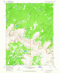
1963 · Whiterocks Lake
USGS Topo · 1:24,000
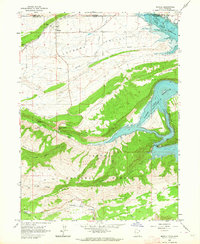
1963 · Manila
USGS Topo · 1:24,000
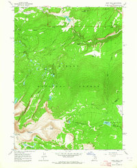
1963 · Leidy Peak
USGS Topo · 1:24,000
1963 · Elk Park
USGS Topo · 1:24,000