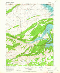
1963 Map of Manila
USGS Topo · Published 1964About this map
Manila sits at the northern edge of this 1963 survey, serving as the gateway to the Lucerne Valley just south of the Wyoming-Utah border. The landscape is defined by the massive Flaming Gorge Reservoir, where the Green River winds through Kingfisher Canyon and past Beehive Point. Significant engineering of the era is evident in the network of irrigation features like Peoples Canal and the Canal system near Henrys Fork, which supported agriculture in this arid basin.
Find a feature on this map
32 named features on this map. Tap any name to fly to it.
Don’t see what you’re looking for? This feature index may not catch every label — zoom into the map to look around manually.
Map Details
Editions of this 1963 Manila Map
2 editions found
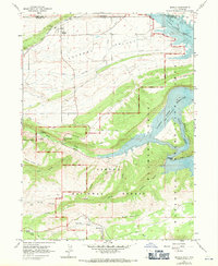
Other maps of this area

1885 · Ashley
USGS Topo · 1:250,000

1906 · Marsh Peak
USGS Topo · 1:125,000

1908 · Marsh Peak
USGS Topo · 1:125,000

1952 · Flaming Gorge
USGS Topo · 1:24,000

1954 · Vernal
USGS Topo · 1:250,000

1954 · Rock Springs
USGS Topo · 1:250,000

1958 · Vernal
USGS Topo · 1:250,000

1958 · Rock Springs
USGS Topo · 1:250,000

1960 · Vernal
USGS Topo · 1:250,000

1962 · Rock Springs
USGS Topo · 1:250,000