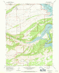
1963 Map of Manila
USGS Topo · Published 1971About this map
Manila serves as the primary settlement on this northern Utah borderland, situated where the broad Lucerne Valley meets the rising terrain of the Ashley National Forest. This 1963 field-checked survey captures a significant moment of environmental transition, showing areas of the Green River and Henrys Fork marked as subject to controlled inundation. These sections were destined to become part of the Flaming Gorge Reservoir, a massive project that redefined the local landscape and economy from ranching toward recreation. Evidence of this shift is visible in the emergence of the Flaming Gorge National Recreation Area, featuring sites like the Moenkopi Campground and Carmel Campground. Away from the water, the map details the high-country geography of Dowd Mountain and Windy Ridge, alongside local infrastructure such as a water tank and various canals that supported life in this high desert environment.
Find a feature on this map
33 named features on this map. Tap any name to fly to it.
Don’t see what you’re looking for? This feature index may not catch every label — zoom into the map to look around manually.
Map Details
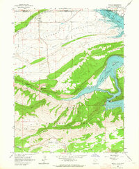
Editions of this 1963 Manila Map
2 editions found
Other maps of this area

1885 · Ashley
USGS Topo · 1:250,000

1906 · Marsh Peak
USGS Topo · 1:125,000

1908 · Marsh Peak
USGS Topo · 1:125,000

1952 · Flaming Gorge
USGS Topo · 1:24,000

1954 · Vernal
USGS Topo · 1:250,000

1954 · Rock Springs
USGS Topo · 1:250,000

1958 · Vernal
USGS Topo · 1:250,000

1958 · Rock Springs
USGS Topo · 1:250,000

1960 · Vernal
USGS Topo · 1:250,000

1962 · Rock Springs
USGS Topo · 1:250,000