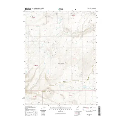
2014 Map of Leidy Peak
USGS Topo · Published 2014About this map
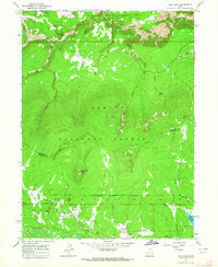
Ashley National Forest dominates this high-elevation landscape along the border of Daggett and Uintah counties. Centered on the towering Leidy Peak, the terrain serves as a significant drainage basin for numerous alpine waterways. To the north, Beaver Cr flows through Sheep Creek Park and past Browne Lake, while the southern slopes feed the N Fork Ashley Cr and S Fork Ashley Cr. The high-altitude hydrography is particularly dense here, featuring isolated bodies of water such as Stove Lake, Tepee Lakes, and Red Lake. Forest access is defined by a network of primitive routes including Forest Rd 096 and S Honslinger Rd, which connect remote landmarks like Ute Mtn and the Lakeshore Basin. This 2014 survey documents a wilderness environment shaped by the Carter Creek forks and the prominent ridge of Summit Park.
Find a feature on this map
40 named features on this map. Tap any name to fly to it.
Don’t see what you’re looking for? This feature index may not catch every label — zoom into the map to look around manually.
Map Details
Editions of this 2014 Leidy Peak Map
This is the sole edition of this map. No revisions or reprints were ever made.
Other maps of this area

1885 · Ashley
USGS Topo · 1:250,000

1906 · Marsh Peak
USGS Topo · 1:125,000

1908 · Marsh Peak
USGS Topo · 1:125,000

1954 · Vernal
USGS Topo · 1:250,000

1958 · Vernal
USGS Topo · 1:250,000

1960 · Vernal
USGS Topo · 1:250,000
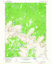
1963 · Whiterocks Lake
USGS Topo · 1:24,000
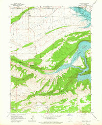
1963 · Manila
USGS Topo · 1:24,000
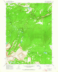
1963 · Leidy Peak
USGS Topo · 1:24,000
1963 · Elk Park
USGS Topo · 1:24,000