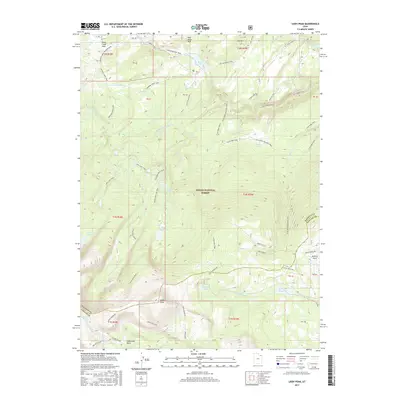
2017 Map of Leidy Peak
USGS Topo · Published 2017About this map
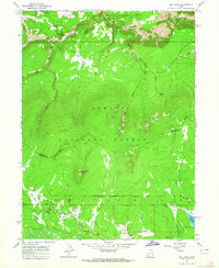
Leidy Peak stands as the dominant topographical landmark in this high-altitude corner of the Ashley National Forest, where the borders of Daggett and Uintah counties meet. The landscape is defined by a dense network of historic transport routes and water resources, most notably the Carter Military Trail and its various segments like the Old Carter Military Trail. These paths trace the movement of early pioneers and military expeditions through the Uinta Mountains.
Find a feature on this map
47 named features on this map. Tap any name to fly to it.
Don’t see what you’re looking for? This feature index may not catch every label — zoom into the map to look around manually.
Map Details
Editions of this 2017 Leidy Peak Map
This is the sole edition of this map. No revisions or reprints were ever made.
Other maps of this area

1885 · Ashley
USGS Topo · 1:250,000

1906 · Marsh Peak
USGS Topo · 1:125,000

1908 · Marsh Peak
USGS Topo · 1:125,000

1954 · Vernal
USGS Topo · 1:250,000

1958 · Vernal
USGS Topo · 1:250,000

1960 · Vernal
USGS Topo · 1:250,000
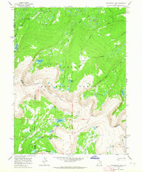
1963 · Whiterocks Lake
USGS Topo · 1:24,000
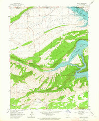
1963 · Manila
USGS Topo · 1:24,000
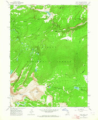
1963 · Leidy Peak
USGS Topo · 1:24,000
1963 · Elk Park
USGS Topo · 1:24,000