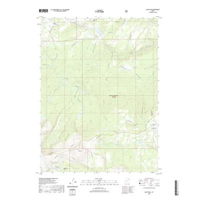
2020 Map of Leidy Peak
USGS Topo · Published 2020About this map
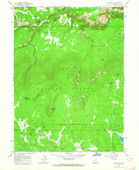
Leidy Peak serves as the focal point for this high-altitude landscape within the Ashley National Forest, where the boundary between Daggett and Uintah counties crosses through the mountainous terrain. The map traces the historic Old Carter Military road and the Uinta Highline trail, illustrating the primary routes through this wilderness. A dense network of glacial lakes and alpine meadows characterizes the area, including the Tepee Lakes, Red Lake, and the expansive Lakeshore Basin to the south.
Find a feature on this map
46 named features on this map. Tap any name to fly to it.
Don’t see what you’re looking for? This feature index may not catch every label — zoom into the map to look around manually.
Map Details
Editions of this 2020 Leidy Peak Map
This is the sole edition of this map. No revisions or reprints were ever made.
Other maps of this area

1885 · Ashley
USGS Topo · 1:250,000

1906 · Marsh Peak
USGS Topo · 1:125,000

1908 · Marsh Peak
USGS Topo · 1:125,000

1954 · Vernal
USGS Topo · 1:250,000

1958 · Vernal
USGS Topo · 1:250,000

1960 · Vernal
USGS Topo · 1:250,000
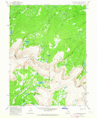
1963 · Whiterocks Lake
USGS Topo · 1:24,000
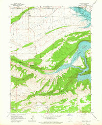
1963 · Manila
USGS Topo · 1:24,000
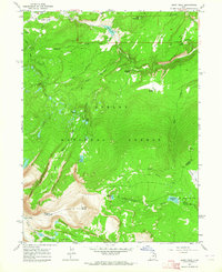
1963 · Leidy Peak
USGS Topo · 1:24,000
1963 · Elk Park
USGS Topo · 1:24,000