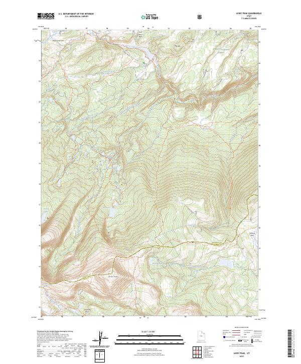
2023 Map of Leidy Peak
USGS Topo · Published 2023About this map
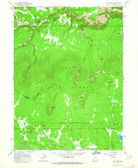
Leidy Peak and Ute Mtn anchor this high-altitude landscape within the Ashley National Forest, where the border between Daggett and Uintah counties follows the crest of the Uinta Mountains. The terrain is defined by a dense network of glacial lakes and basins, including Hacking Lake, Stove Lake, and the cluster of Tepee Lakes. Historic transportation routes are a primary feature here, most notably the Old Carter Military Trl and the Carter Military Trl, which provide a window into the region's 19th-century logistics and movement across the range. Modern recreation and legacy paths converge along the Uinta Highline Trl, connecting landmarks like Lakeshore Basin and Sheep Creek Park. This area serves as a vital headwater region, with the North Fork Ashley Creek and multiple forks of Carter Creek draining the steep, lake-dotted slopes of the high Uintas.
Find a feature on this map
40 named features on this map. Tap any name to fly to it.
Don’t see what you’re looking for? This feature index may not catch every label — zoom into the map to look around manually.
Map Details
Editions of this 2023 Leidy Peak Map
This is the sole edition of this map. No revisions or reprints were ever made.
Other maps of this area

1885 · Ashley
USGS Topo · 1:250,000

1906 · Marsh Peak
USGS Topo · 1:125,000

1908 · Marsh Peak
USGS Topo · 1:125,000

1954 · Vernal
USGS Topo · 1:250,000

1958 · Vernal
USGS Topo · 1:250,000

1960 · Vernal
USGS Topo · 1:250,000
1963 · Whiterocks Lake
USGS Topo · 1:24,000
1963 · Manila
USGS Topo · 1:24,000
1963 · Leidy Peak
USGS Topo · 1:24,000
1963 · Elk Park
USGS Topo · 1:24,000