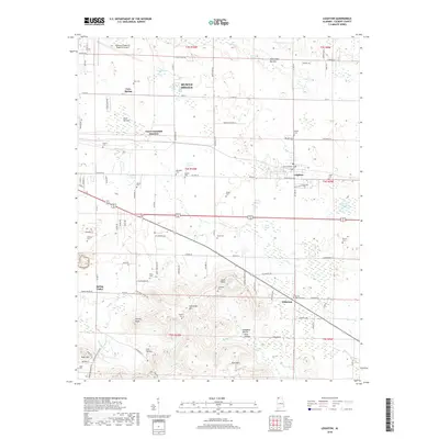
2018 Map of Leighton
USGS Topo · Published 2018About this map
Leighton and the surrounding Colbert County landscape are defined by the transition from the Tennessee River valley flats up into the rising foothills of the Appalachian plateau. The northern half of the map, including portions of Muscle Shoals, is dominated by low-lying basins like Abernathy Bottom and numerous ponds such as Gnat Pond and Alcock Pond. This agricultural and industrial area is bridged by the Norfolk Southern railroad, which passes through Emco-Listerhill Junction. To the south, the topography shifts dramatically as the land climbs toward LaGrange Mtn and Kent Mtn. Genealogists will find a wealth of localized data in the numerous family and community burial grounds, including Blythe Memorial Cem, Ricks Cem, and Gargis Cem, which are scattered among the ridges and hollows like Lick Hollow and Campbell Hollow.
Find a feature on this map
113 named features on this map. Tap any name to fly to it.
Don’t see what you’re looking for? This feature index may not catch every label — zoom into the map to look around manually.
Map Details
Editions of this 2018 Leighton Map
This is the sole edition of this map. No revisions or reprints were ever made.
Other maps of this area

1914 · Rogersville
USGS Topo · 1:48,000

1914 · Muscle Shoals
USGS Topo · 1:48,000

1916 · Muscle Shoals
USGS Topo · 1:62,500

1916 · Rogersville
USGS Topo · 1:62,500

1924 · Tuscumbia
USGS Topo · 1:48,000

1926 · Tuscumbia
USGS Topo · 1:62,500

1936 · Russellville
USGS Topo · 1:24,000

1936 · Wheeler Dam
USGS Topo · 1:24,000

1936 · Florence
USGS Topo · 1:24,000

1936 · Town Creek
USGS Topo · 1:24,000