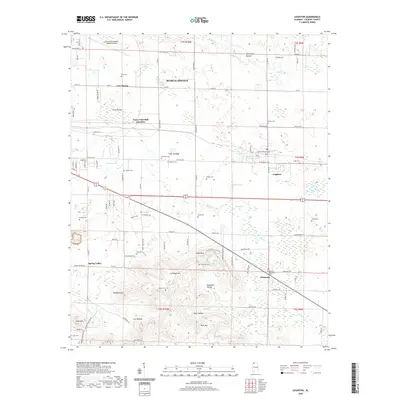
2020 Map of Leighton
USGS Topo · Published 2020About this map
The town of Leighton and its surrounding countryside in Colbert County are defined by a complex landscape of lowlands and prominent ridges. To the south, the terrain rises sharply toward LaGrange Mtn and Kent Mtn, where the historic College Spring and the ruins-related LaGrange Cem sit near the former site of LaGrange College. This area reveals a transition from the agricultural plains of Abernathy Bottom to the higher elevations of the Cumberland Plateau foothills.
Find a feature on this map
73 named features on this map. Tap any name to fly to it.
Don’t see what you’re looking for? This feature index may not catch every label — zoom into the map to look around manually.
Map Details
Editions of this 2020 Leighton Map
This is the sole edition of this map. No revisions or reprints were ever made.
Other maps of this area

1914 · Rogersville
USGS Topo · 1:48,000

1914 · Muscle Shoals
USGS Topo · 1:48,000

1916 · Muscle Shoals
USGS Topo · 1:62,500

1916 · Rogersville
USGS Topo · 1:62,500

1924 · Tuscumbia
USGS Topo · 1:48,000

1926 · Tuscumbia
USGS Topo · 1:62,500

1936 · Russellville
USGS Topo · 1:24,000

1936 · Wheeler Dam
USGS Topo · 1:24,000

1936 · Florence
USGS Topo · 1:24,000

1936 · Town Creek
USGS Topo · 1:24,000