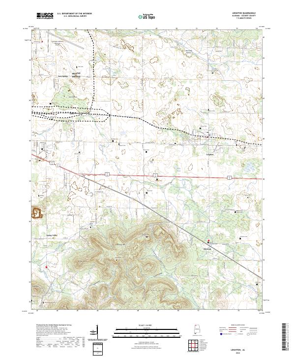
2024 Map of Leighton
USGS Topo · Published 2024About this map
The Muscle Shoals vicinity and the surrounding Colbert County landscape are defined here by a transition from the level bottomlands of the Tennessee River valley to the rising elevations of LaGrange Mtn and Kent Mtn. This topography is deeply intertwined with the region's agricultural and settlement history, as evidenced by the high density of family-named burial grounds like Abernathy-Wooten Cem, Ligon Cem, and Leigh Cem.
Find a feature on this map
123 named features on this map. Tap any name to fly to it.
Don’t see what you’re looking for? This feature index may not catch every label — zoom into the map to look around manually.
Map Details
Editions of this 2024 Leighton Map
This is the sole edition of this map. No revisions or reprints were ever made.
Other maps of this area

1914 · Rogersville
USGS Topo · 1:48,000

1914 · Muscle Shoals
USGS Topo · 1:48,000

1916 · Muscle Shoals
USGS Topo · 1:62,500

1916 · Rogersville
USGS Topo · 1:62,500

1924 · Tuscumbia
USGS Topo · 1:48,000

1926 · Tuscumbia
USGS Topo · 1:62,500

1936 · Russellville
USGS Topo · 1:24,000

1936 · Wheeler Dam
USGS Topo · 1:24,000

1936 · Florence
USGS Topo · 1:24,000

1936 · Town Creek
USGS Topo · 1:24,000