
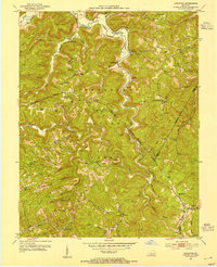
1952 Map of Leighton
USGS Topo · Published 1952About this map
Station Camp Creek carves a deep, winding path through the heart of the Daniel Boone National Forest, defining the settlement patterns of this section of the Kentucky highlands. Small communities like Alumbaugh, Wagersville, and Searcy cling to the narrow valleys and ridge tops, connected by a network of unimproved roads and the storied Sheltowee Trace. The influence of early 20th-century industry is evident with oil wells scattered along the Happy Top Mtn area, while the spiritual and social life of the region is anchored by the Nazareth Mission and rural schoolhouses such as Slick Ford Sch. High points like Drip Rock provide critical vantage points, formerly utilized by the Drip Rock Lookout Tower to monitor the dense forest. For family historians, the map preserves the exact locations of several small burial grounds, including the Gabbard Cem and King Cem, often situated near the forks of creeks like Brushy Fork.
Find a feature on this map
43 named features on this map. Tap any name to fly to it.
Don’t see what you’re looking for? This feature index may not catch every label — zoom into the map to look around manually.
Map Details
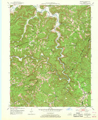
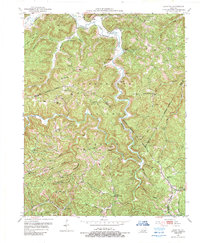
Editions of this 1952 Leighton Map
4 editions found
Other maps of this area

1891 · Manchester
USGS Topo · 1:125,000

1892 · Richmond
USGS Topo · 1:125,000

1892 · Beattyville
USGS Topo · 1:125,000

1893 · London
USGS Topo · 1:125,000

1897 · Richmond
USGS Topo · 1:125,000

1897 · London
USGS Topo · 1:125,000

1952 · Alcorn
USGS Topo · 1:24,000

1952 · Cobhill
USGS Topo · 1:24,000

1952 · Heidelberg
USGS Topo · 1:24,000

1952 · Irvine
USGS Topo · 1:24,000