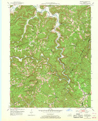
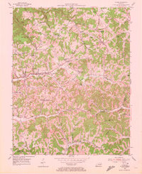
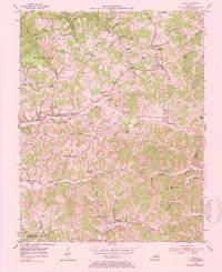
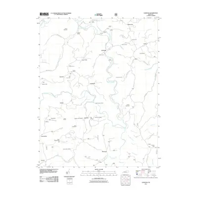
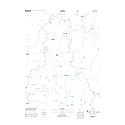
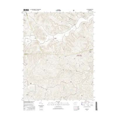
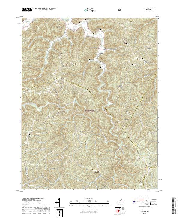
1952 Map of Leighton
USGS Topo · Published 1968About this map
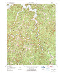
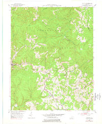
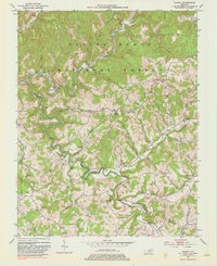
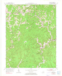
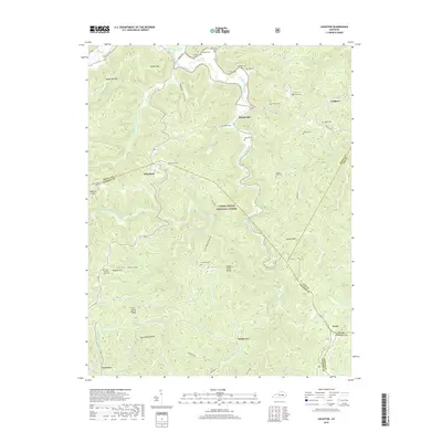
Cumberland National Forest dominates this mid-century survey, where the rugged topography of the Kentucky mountains dictates a settlement pattern concentrated along narrow hollows and creek beds. Small communities and family clusters like Lynch Town, Alumbaugh, and Arvel are connected by winding roads that follow the drainage of Station Camp Creek and the South Fork. The presence of numerous isolated schools, such as Slick Ford Sch and Greenbriar Sch, along with landmarks like the Drip Rock Lookout Tower, reflects a way of life deeply integrated into the forested highlands.
Find a feature on this map
86 named features on this map. Tap any name to fly to it.
Don’t see what you’re looking for? This feature index may not catch every label — zoom into the map to look around manually.
Map Details
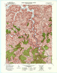
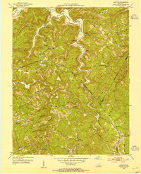
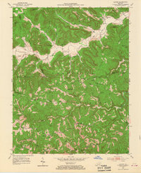
Editions of this 1952 Leighton Map
4 editions found
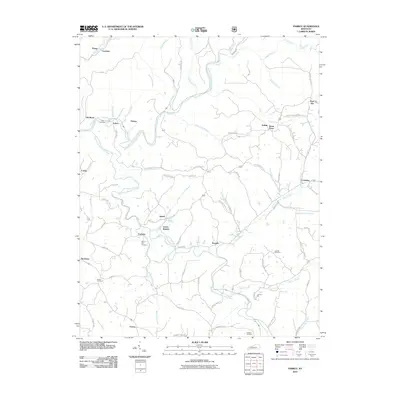
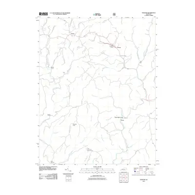
Historical Maps of Leighton Through Time
32 maps found
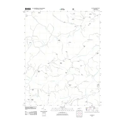
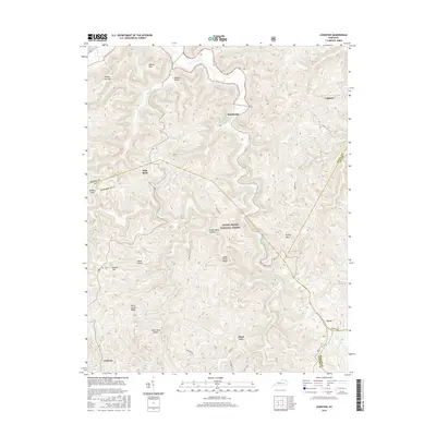
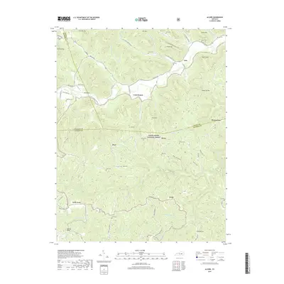
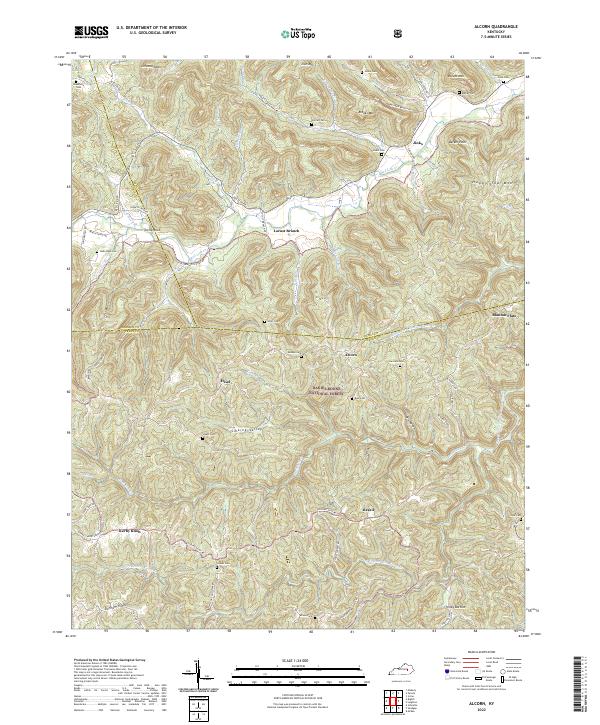
1952 Alcorn
Jackson County, KY
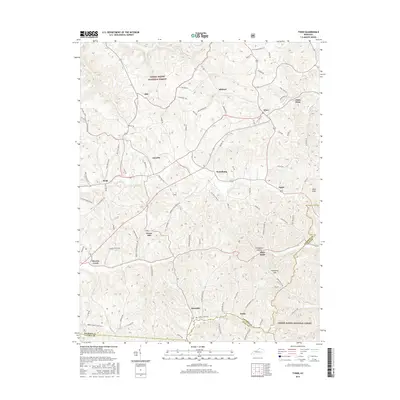
1952 Leighton
Jackson County, KY
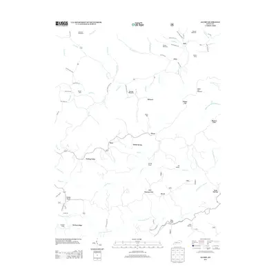
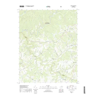
1953 Mc Kee
Jackson County, KY
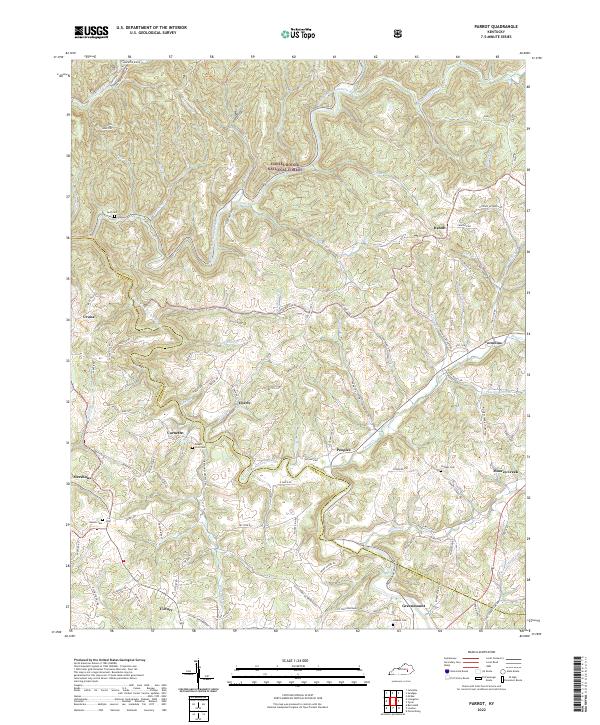
1953 Parrot
Jackson County, KY
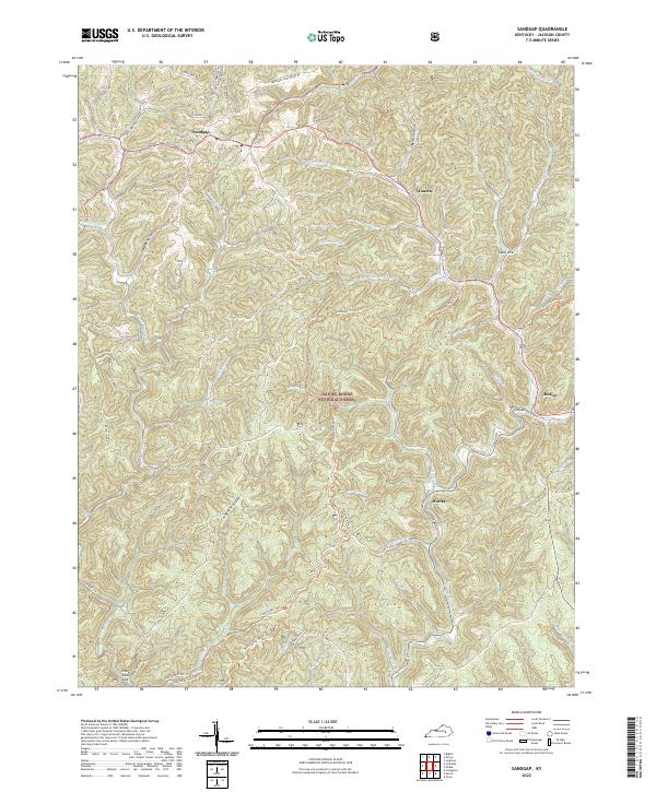
1953 Sandgap
Jackson County, KY
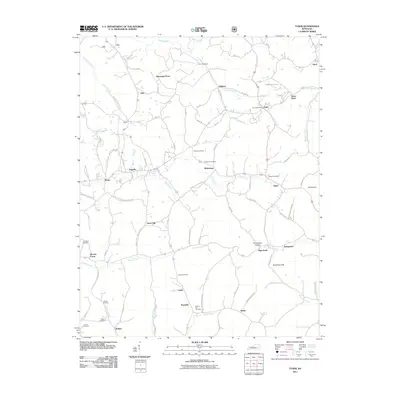
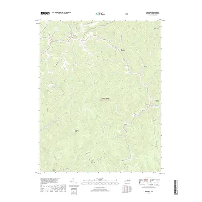
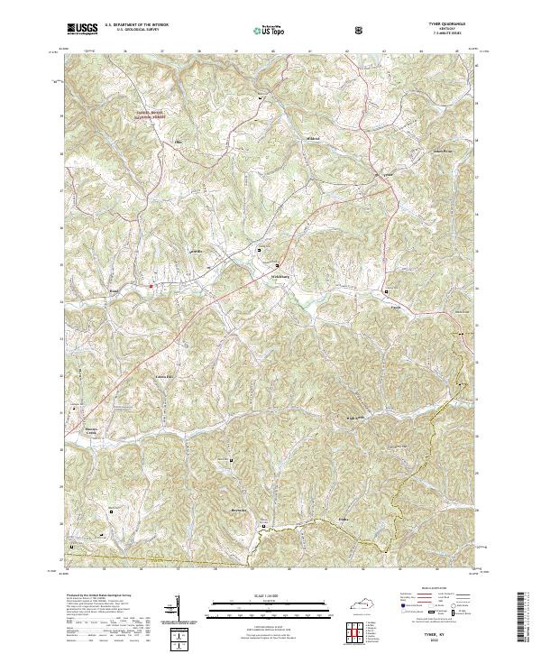
1953 Tyner
Jackson County, KY
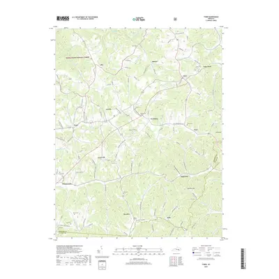
1976 Tyner
Jackson County, KY
2010 Parrot
Jackson County, KY
2010 Sandgap
Jackson County, KY
2011 Alcorn
Jackson County, KY
2011 Leighton
Jackson County, KY
2011 Tyner
Jackson County, KY
2013 Alcorn
Jackson County, KY
2013 Leighton
Jackson County, KY
2013 Parrot
Jackson County, KY
2013 Sandgap
Jackson County, KY
2013 Tyner
Jackson County, KY
2016 Alcorn
Jackson County, KY
2016 Leighton
Jackson County, KY
2016 Parrot
Jackson County, KY
2016 Sandgap
Jackson County, KY
2016 Tyner
Jackson County, KY
2019 Alcorn
Jackson County, KY
2019 Leighton
Jackson County, KY
2019 Parrot
Jackson County, KY
2019 Sandgap
Jackson County, KY
2019 Tyner
Jackson County, KY
2022 Alcorn
Jackson County, KY
2022 Leighton
Jackson County, KY
2022 Parrot
Jackson County, KY
2022 Sandgap
Jackson County, KY
2022 Tyner
Jackson County, KY