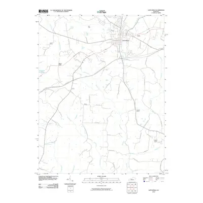
2010 Map of Leitchfield
USGS Topo · Published 2010About this map
Leitchfield serves as the primary hub of this landscape, situated at the junction of modern transit corridors and historical waterways. The area is defined by a dense network of local roads and family-named landmarks, reflecting generations of settlement in Grayson County. To the west, Black Rock and the Day Cliffs overlook the winding path of Little Clifty Creek, while the Western Kentucky Pkwy cuts a straight line through the rolling southern terrain. Genealogists will find significant value in the distribution of family burial grounds across the rural landscape, including Hill Cemetery, Kefauver Cemetery, and William Cemetery. The presence of the Grayson County Airport and Allens Lake indicates the modern evolution of land use in this central Kentucky region, even as the rural character persists along many of the creek branches like Taylor Fork and McClure Fork.
Find a feature on this map
61 named features on this map. Tap any name to fly to it.
Don’t see what you’re looking for? This feature index may not catch every label — zoom into the map to look around manually.
Map Details
Editions of this 2010 Leitchfield Map
This is the sole edition of this map. No revisions or reprints were ever made.
Other maps of this area

1922 · Leitchfield
USGS Topo · 1:48,000

1925 · Cub Run
USGS Topo · 1:62,500

1925 · Leitchfield
USGS Topo · 1:62,500

1932 · Big Clifty
USGS Topo · 1:62,500

1949 · Big Clifty
USGS Topo · 1:24,000

1949 · Big Clifty
USGS Topo · 1:62,500

1953 · Mc Daniels
USGS Topo · 1:24,000

1953 · Ready
USGS Topo · 1:24,000

1953 · Bee Spring
USGS Topo · 1:24,000

1954 · Evansville
USGS Topo · 1:250,000