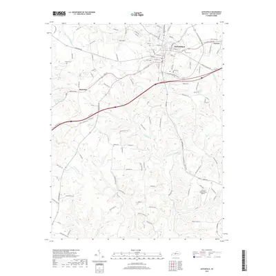
2019 Map of Leitchfield
USGS Topo · Published 2019About this map
Leitchfield serves as the central hub of this Grayson County landscape, where the William Thomason Byway and other local roads connect the seat to nearby Clarkson and the settlement at Black Rock. The terrain is defined by a dense network of watercourses, including McClure Fork, Beaver Dam Cr, and Taylor Fork, which carve through the topography to create features like Day Cliffs and Caldwell Hollow. For those researching local family history, several burial sites are documented across the rural landscape, such as Fairview Cem near the town center and the more outlying Wortham Cem and Kefauver Cem. The modern infrastructure of the Leitchfield-Grayson County Airport sits to the southeast, illustrating the continued development of this regional crossroads as it appeared in the late 2010s.
Find a feature on this map
116 named features on this map. Tap any name to fly to it.
Don’t see what you’re looking for? This feature index may not catch every label — zoom into the map to look around manually.
Map Details
Editions of this 2019 Leitchfield Map
This is the sole edition of this map. No revisions or reprints were ever made.
Other maps of this area

1922 · Leitchfield
USGS Topo · 1:48,000

1925 · Cub Run
USGS Topo · 1:62,500

1925 · Leitchfield
USGS Topo · 1:62,500

1932 · Big Clifty
USGS Topo · 1:62,500

1949 · Big Clifty
USGS Topo · 1:24,000

1949 · Big Clifty
USGS Topo · 1:62,500

1953 · Mc Daniels
USGS Topo · 1:24,000

1953 · Ready
USGS Topo · 1:24,000

1953 · Bee Spring
USGS Topo · 1:24,000

1954 · Evansville
USGS Topo · 1:250,000