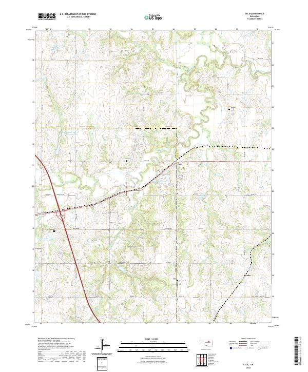
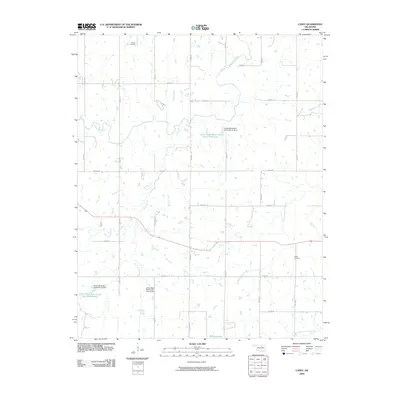
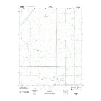
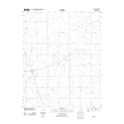
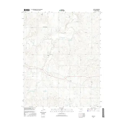
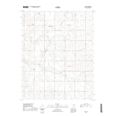
2022 Map of Lela
USGS Topo · Published 2022About this map
Lela sits at the center of this landscape, marking a rural crossroads where the boundaries of Noble and Pawnee Counties meet. The area is defined by the winding course of Black Bear Creek and its complex network of tributaries, including Panther Cr and Turkey Cr. Modern infrastructure like US Route 64 and the Crosstown Ave alignment bisects the terrain, yet the map preserves numerous sites of genealogical importance. Several small burial grounds, such as Indian Cem and Morrison Cem, are scattered across the section lines, reflecting the region's layered history of settlement and tribal lands. To the south, the terrain rises at Knob Hill and transitions into the Diamond Valley, while the eastern edge is marked by the small settlement of Rambo near the headwaters of Pepper Cr.
Find a feature on this map
62 named features on this map. Tap any name to fly to it.
Don’t see what you’re looking for? This feature index may not catch every label — zoom into the map to look around manually.
Map Details
Editions of this 2022 Lela Map
This is the sole edition of this map. No revisions or reprints were ever made.
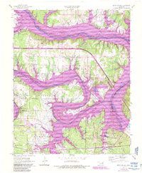
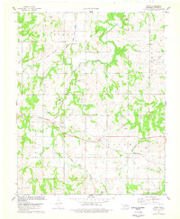
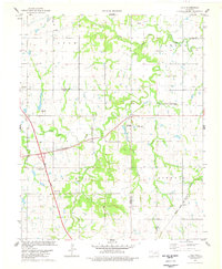
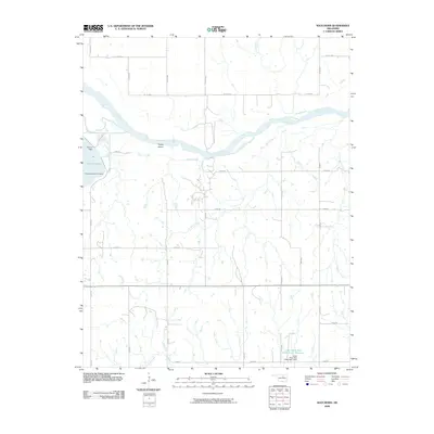
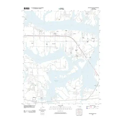
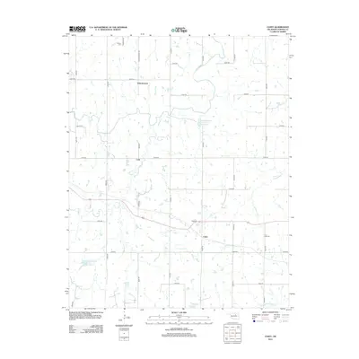
Historical Maps of Rambo Through Time
30 maps found
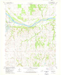
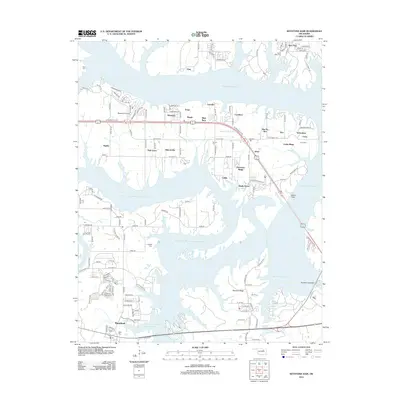
1958 Keystone Dam
Pawnee County, OK
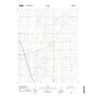
1978 Casey
Pawnee County, OK
1978 Lela
Pawnee County, OK
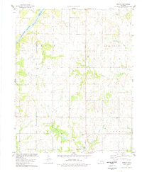
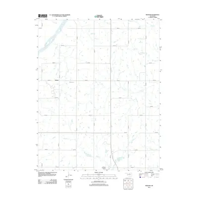
1978 Masham
Pawnee County, OK
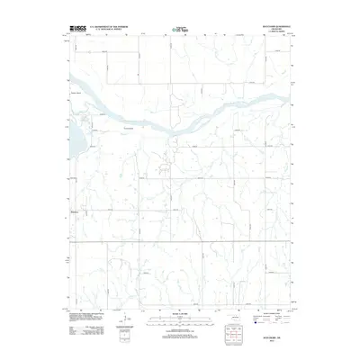
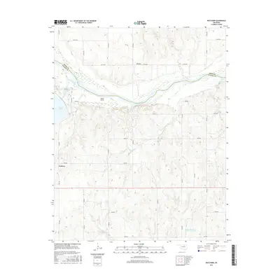
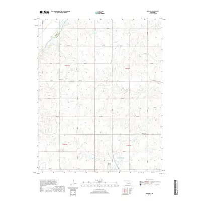
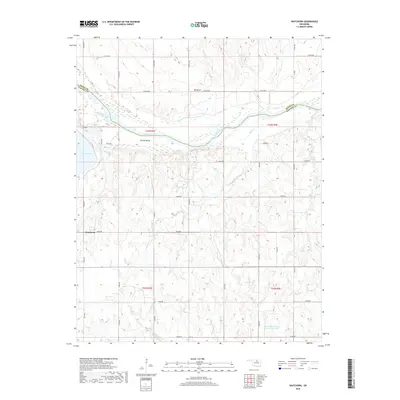
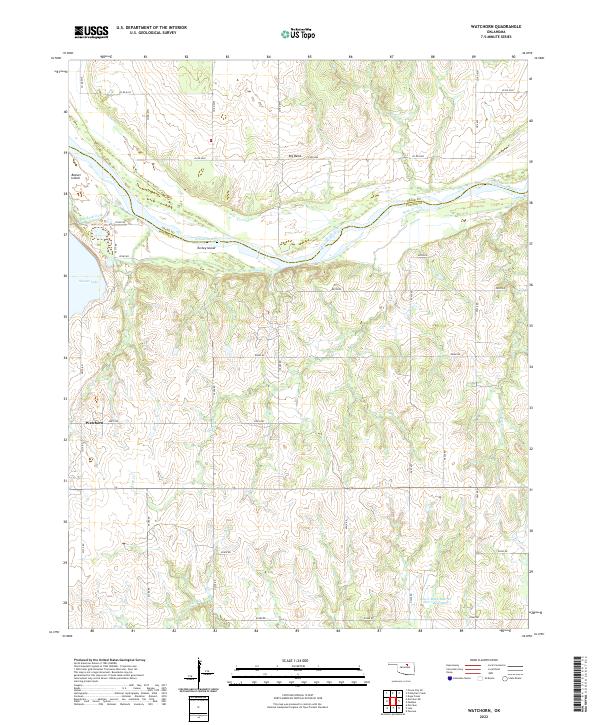
1978 Watchorn
Pawnee County, OK
2009 Casey
Pawnee County, OK
2009 Lela
Pawnee County, OK
2009 Masham
Pawnee County, OK
2009 Watchorn
Pawnee County, OK
2010 Keystone Dam
Pawnee County, OK
2012 Casey
Pawnee County, OK
2012 Keystone Dam
Pawnee County, OK
2012 Lela
Pawnee County, OK
2012 Masham
Pawnee County, OK
2012 Watchorn
Pawnee County, OK
2016 Casey
Pawnee County, OK
2016 Keystone Dam
Pawnee County, OK
2016 Lela
Pawnee County, OK
2016 Masham
Pawnee County, OK
2016 Watchorn
Pawnee County, OK
2018 Casey
Pawnee County, OK

2018 Keystone Dam
Pawnee County, OK
2018 Lela
Pawnee County, OK
2018 Masham
Pawnee County, OK
2018 Watchorn
Pawnee County, OK
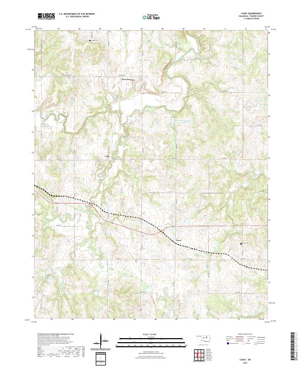
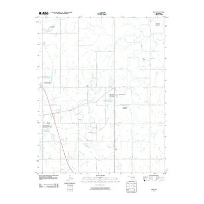
2022 Casey
Pawnee County, OK
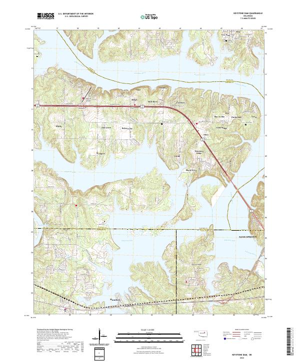
2022 Keystone Dam
Pawnee County, OK
2022 Lela
Pawnee County, OK
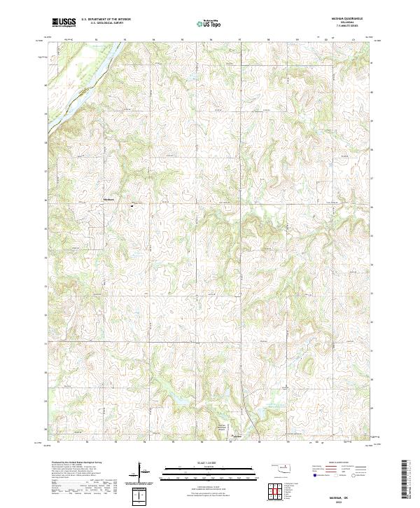
2022 Masham
Pawnee County, OK
2022 Watchorn
Pawnee County, OK