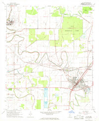
1967 Map of Leland
USGS Topo · Published 1968About this map
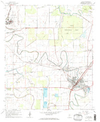
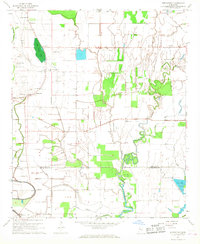
Deer Creek meanders through this portion of Washington County, anchoring a landscape defined by agricultural research and transit. The Delta Experimental Forest occupies a significant tract in the northeast, while the Illinois Central railroad serves as the primary artery connecting the hub of Leland with nearby Stoneville and Elizabeth. This 1960s survey documents the region's deep historical roots through several Indian Mounds and a dense network of family and community landmarks, including the Stoneville-Leland Cem and Mt Ararat Ch. Aviation infrastructure is prominent, featuring the Greenville Municipal Airport and smaller facilities like Huntley Airport. The map also captures specialized land use such as the Fish Farm and various sewage disposal ponds, reflecting the mid-century industrial and scientific character of the Mississippi Delta.
Find a feature on this map
52 named features on this map. Tap any name to fly to it.
Don’t see what you’re looking for? This feature index may not catch every label — zoom into the map to look around manually.
Map Details
Editions of this 1967 Leland Map
2 editions found
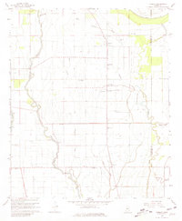
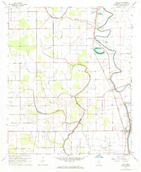
Other maps of this area

1933 · Lamont
USGS Topo · 1:62,500

1939 · Refuge
USGS Topo · 1:62,500

1939 · Lamont
USGS Topo · 1:62,500

1939 · Tralake
USGS Topo · 1:62,500

1939 · Choctaw
USGS Topo · 1:62,500

1953 · Greenwood
USGS Topo · 1:250,000

1956 · Greenwood
USGS Topo · 1:250,000
1967 · Tribbett
USGS Topo · 1:24,000
1967 · Arcola
USGS Topo · 1:24,000
1967 · Stringtown
USGS Topo · 1:24,000