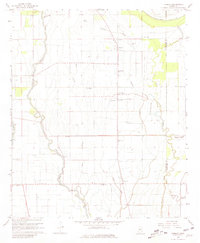
1967 Map of Tribbett
USGS Topo · Published 1968About this map
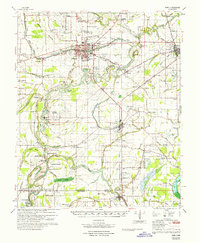
Bogue Phalia winds through this section of the Mississippi Delta, anchoring a landscape defined by its intricate drainage network and agricultural partitions. The 1967 survey reveals a rural society centered around small settlements like Tribbett, Bourbon, and Tralake. The cultural footprint is heavily marked by a dense concentration of community churches and cemeteries, including Mt Zion Ch, Kindling Altar Ch, and St John Ch, often located near the winding courses of Sixmile Bayou and Deep Slough.
Find a feature on this map
29 named features on this map. Tap any name to fly to it.
Don’t see what you’re looking for? This feature index may not catch every label — zoom into the map to look around manually.
Map Details
Editions of this 1967 Tribbett Map
2 editions found

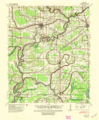
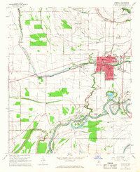
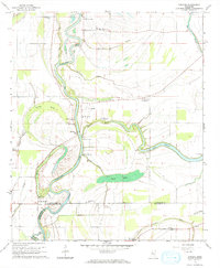
Other maps of this area

1939 · Tralake
USGS Topo · 1:62,500

1939 · Swan Lake
USGS Topo · 1:62,500

1940 · Auter
USGS Topo · 1:62,500
1940 · Baird
USGS Topo · 1:62,500

1953 · Greenwood
USGS Topo · 1:250,000

1956 · Greenwood
USGS Topo · 1:250,000
1965 · Indianola
USGS Topo · 1:24,000
1965 · Kinlock
USGS Topo · 1:24,000

1965 · Midnight NW
USGS Topo · 1:24,000
1967 · Baird
USGS Topo · 1:62,500