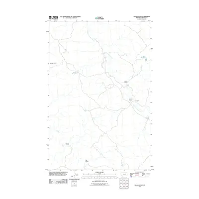
2011 Map of Lelig Coulee
USGS Topo · Published 2011About this map
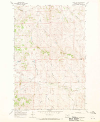
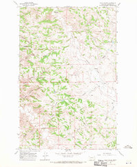
Thomas Ranch and O'Connor Ranch represent the enduring pastoral character of this Garfield County landscape. Set against a backdrop of complex drainage patterns, the area is defined by a network of coulees including Stocker Coulee, Kimmel Coulee, and the eponymous Lelig Coulee. These landforms, alongside the South Fork Lodgepole Creek, illustrate the erosional history of the Montana plains. Water management is central to the local economy, evidenced by several water storage features such as Split Reservoir, its associated Split Dam, and Ezekial Reservoir. The terrain rises to notable high points at Sandage Buttes, while smaller drainages like Calf Creek, Sheep Coulee, and Teepee Coulee further divide the rangeland. This survey documents the intersection of natural topography and private ranching interests in a sparsely populated region.
Find a feature on this map
14 named features on this map. Tap any name to fly to it.
Don’t see what you’re looking for? This feature index may not catch every label — zoom into the map to look around manually.
Map Details
Editions of this 2011 Lelig Coulee Map
This is the sole edition of this map. No revisions or reprints were ever made.
Other maps of this area

1954 · Jordan
USGS Topo · 1:250,000

1956 · Jordan
USGS Topo · 1:250,000

1958 · Jordan
USGS Topo · 1:250,000

1964 · Jordan
USGS Topo · 1:250,000
1967 · Barney Pinnacle
USGS Topo · 1:24,000
1967 · Froehlich Butte
USGS Topo · 1:24,000

1967 · Nelson Coulee
USGS Topo · 1:24,000
1967 · Fail Ranch
USGS Topo · 1:24,000
1967 · Searl Coulee
USGS Topo · 1:24,000
1967 · Lelig Coulee
USGS Topo · 1:24,000